
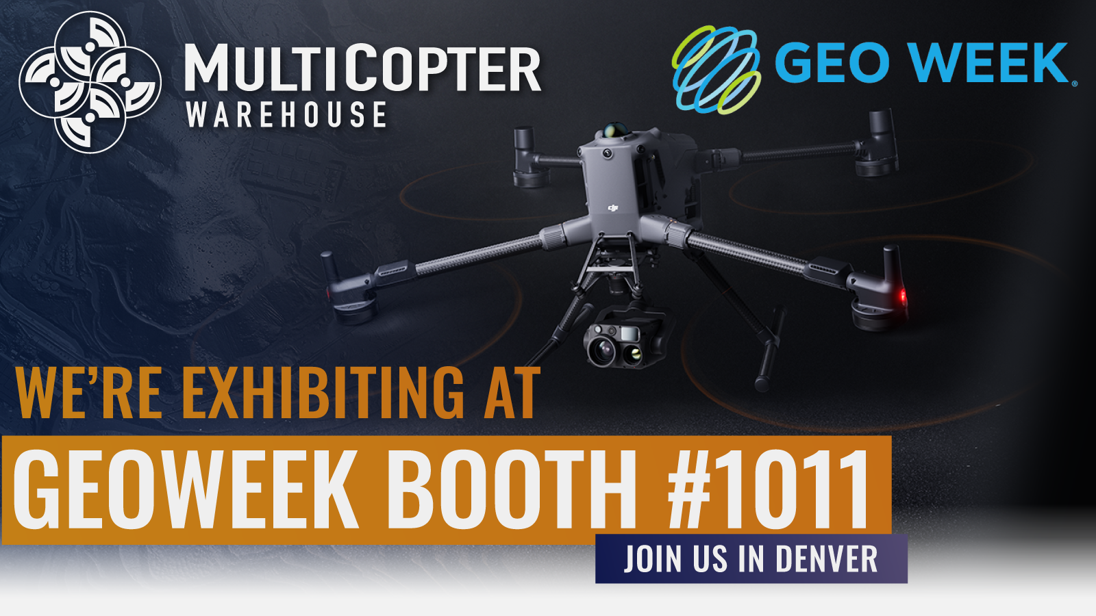
Join MultiCopter Warehouse at GeoWeek in Denver, CO and discover how DJI drone technology is transforming workflows across surveying, mapping, construction, infrastructure, utilities, and geospatial analysis.
Visit us at Booth #1011
Use code GEO2630221 to register for a FREE exhibition pass
Stop by the show floor to explore the latest DJI enterprise UAV solutions and connect with our team of drone experts. Learn how purpose-built DJI platforms and tailored UAV workflows can help you capture more accurate data, streamline field operations, and deliver better results.
See DJI drones that feature:
• AI-driven automation for efficient data capture and processing
• High-accuracy mapping and surveying tools
• Advanced imaging for inspection and analysis
• RTK and precision positioning for geospatial accuracy
• Intelligent safety systems with obstacle sensing
Whether you’re mapping terrain, managing assets, or delivering high-precision geospatial data, MultiCopter Warehouse can help you select and deploy the right DJI solution for your mission.
