Drone LiDAR Systems for
Aerial Mapping

Utilizing drone LiDAR Systems for aerial mapping enables mapping companies to surmount challenging terrain or hazardous environments. Employing drones instead of personnel for mapping difficult or dangerous areas enhances safety, speed, efficiency, and data precision. Consider open-pit mines, notorious for their perilous conditions due to numerous cliffs and steep slopes prone to collapse. Drone LiDAR systems for aerial mapping prove invaluable in delineating both hazardous zones and safe areas within a mining site.
Related Products
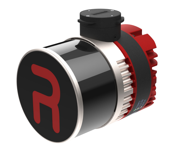
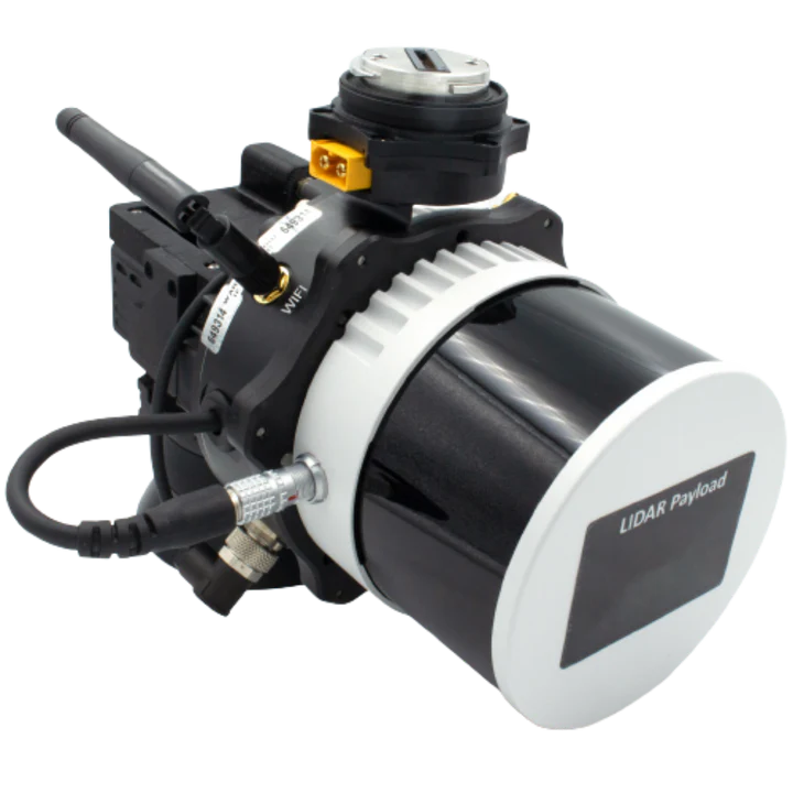
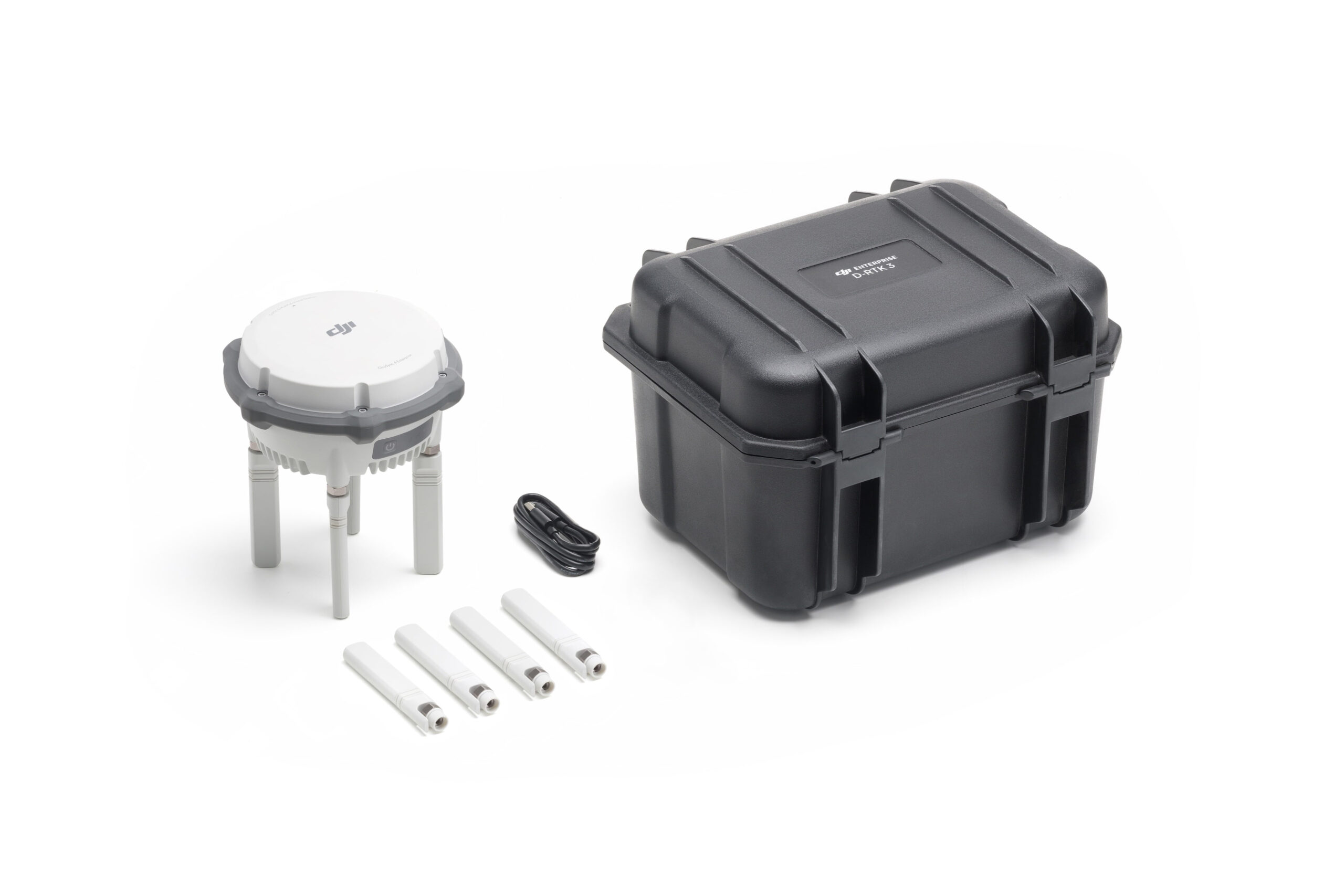
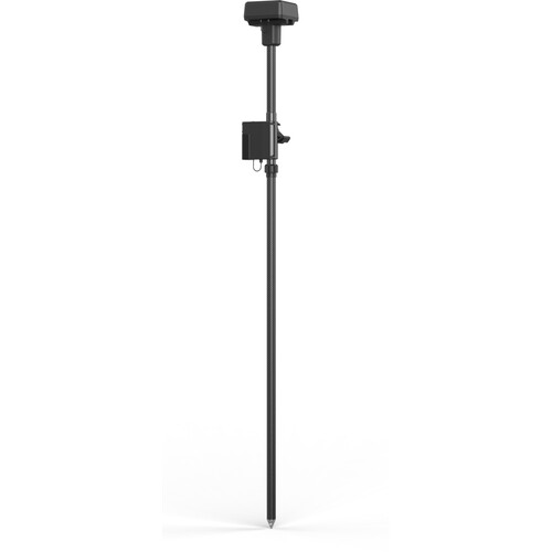
Offering precise and detailed 3D mapping capabilities from an aerial perspective, drone LiDAR facilitates efficient surveying and mapping of large areas. Its ability to penetrate dense vegetation and capture elevation data with high accuracy makes it invaluable for applications such as forestry management, urban planning, and infrastructure development.

Increased Personnel Safety
Capturing LiDAR data with UAVs significantly increases safety for personnel by minimizing the need for ground crews to access hazardous or hard-to-reach environments. Whether surveying steep terrain, dense vegetation, or active construction and disaster zones, UAVs can efficiently collect high-resolution LiDAR data from above, reducing the risk of slips, falls, or exposure to dangerous conditions. This remote capability enhances situational awareness while keeping team members safely out of harm’s way.
Cost Effective
Obtaining UAV LiDAR data is efficient, precise, and safe, often at a significantly lower cost compared to surveys conducted using manned aircraft.
Although airborne LiDAR is well-suited for extensive mapping projects covering vast territories, UAV LiDAR emerges as a more economical and adaptable solution for smaller areas. It demands less time, fewer personnel, and a smaller system, facilitating the swift generation of high-quality data for your specific area of interest.


Fast Data Collection
Conventional surveys often require days or even weeks to collect data, especially when employing a single terrestrial laser scanner that necessitates frequent relocation to cover extensive areas. This approach lacks scalability, hindering quick project completion and diminishing long-term productivity.
In contrast, utilizing drone LiDAR significantly reduces data gathering time. Surveys can be finalized within hours and processed on the same day, delivering rapid results that facilitate swift decision-making. With expedited data capture and high-resolution outputs, UAV LiDAR emerges as a cost-effective and practical alternative for terrestrial mapping and surveying endeavors.
Talk To Our Experts
Get in touch with us to schedule a meeting with one of our team members at MultiCopter Warehouse, where we can discuss and tailor the perfect solution for your needs.


