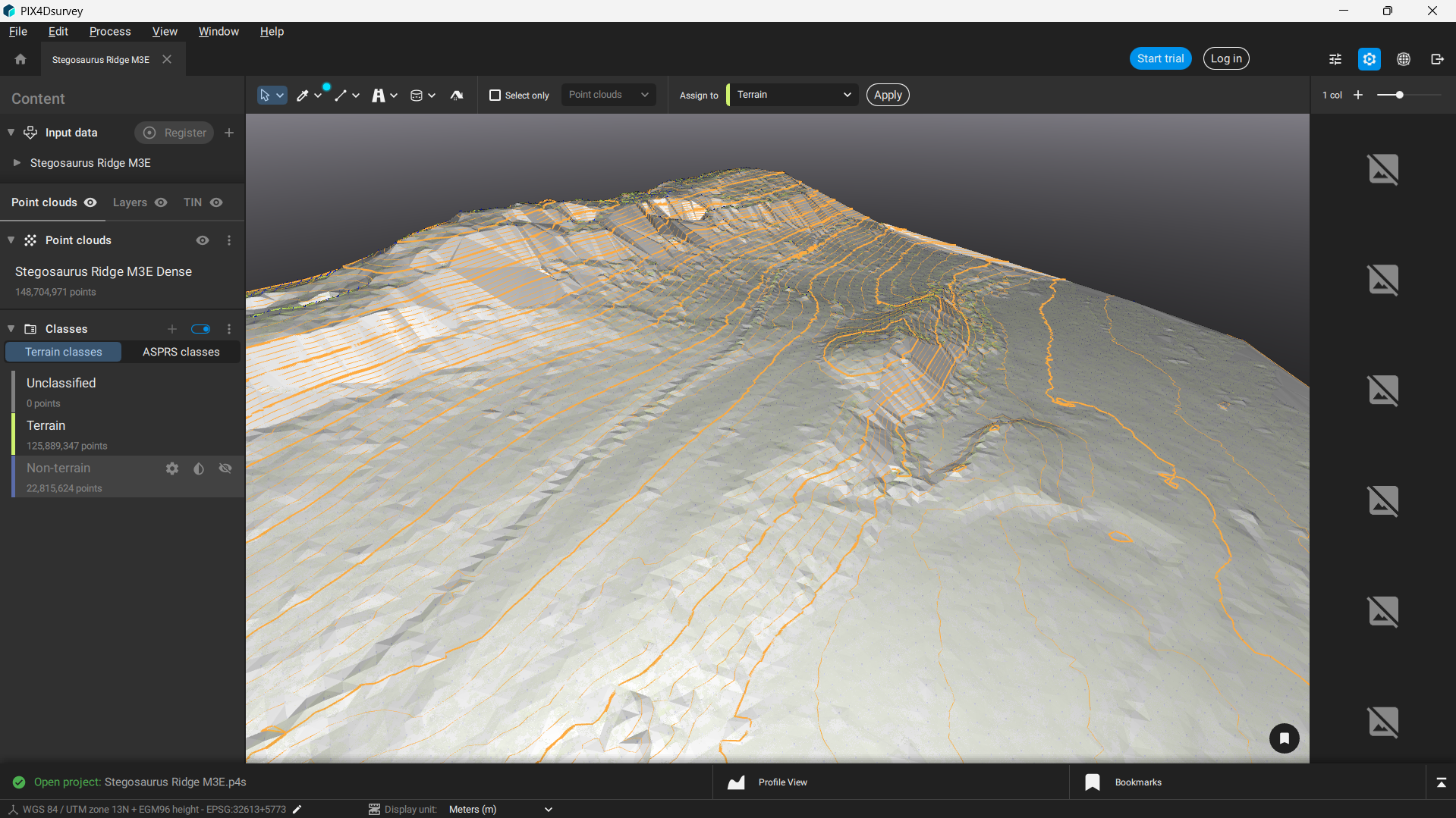
PIX4Dmatic processes thousands of images while maintaining survey-grade accuracy, halving the processing time, without the trouble of splitting and merging.
Point Cloud
Generate a dense point cloud, create a depth point cloud or fuse them according to the needs of your project and create the best reconstruction possible.
Orthomosaic
Create orthomosaics that are geometrically corrected such that the scale is uniform. They are color balanced in order to be visually pleasing.
Digital Surface Model
Generate a digital representation of all objects in the mapped area. It includes natural features as well as elevated objects, like buildings.
Mesh
Generate a 3D textured mesh by defining the texture size and decimation criteria and view it either in textured or shaded mode.
Revolutionizing Photogrammetry
So you can scale up and unleash the power of your imagery
Pix4D develops software solutions tailored for professional drone-based mapping, exclusively utilizing images. Its innovative approach to modern photogrammetry is revolutionizing workflows and the integration of drone data and aerial imagery across diverse industries.

Pix4D Serves Multiple Enterprises:
Pix4D Advantages
DJI Compatibility
Pix4D is compatible with any DJI drone, enabling it to function as a data collection tool for aerial mapping and 3D modeling.
Ortho-Corrected Images
Pix4D corrects 2D images for scale, topographical relief, lens distortion and camera angle, assembling a dimensionally accurate 3D mosaic.
Heightened Efficiency
Drones enabled by Pix4D gather data and images for aerial mapping and modeling in a fraction of the time needed by ground-based teams.
Exportable Data
Data processed by Pix4D can be exported to a range of other programs, including CAD and GIS, for deeper analysis, and shared by multiple users.
Talk To Our Experts
Get in touch with us to schedule a meeting with one of our team members at MultiCopter Warehouse, where we can discuss and tailor the perfect solution for your needs.


