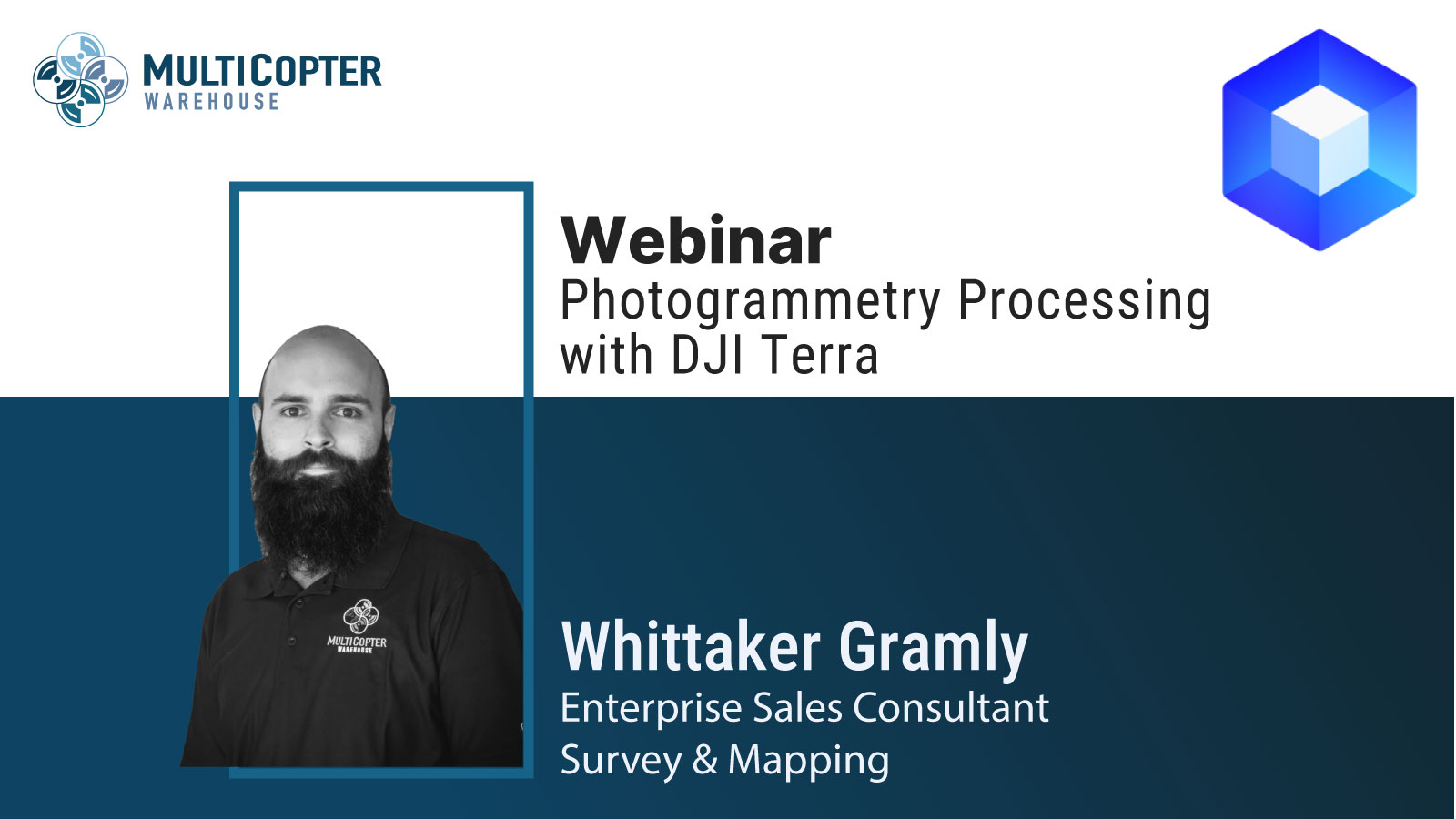
Join Whittaker and Multicopter Warehouse for an informative webinar dedicated to mastering photogrammetry processing with DJI Terra. Designed for professionals in mapping, surveying, and construction, DJI Terra is a powerful software solution that simplifies the process of processing, and analyzing aerial imagery.
Key Topics Include:
- Optimizing data capture with your drone.
- Creating and exporting 3D photogrammetry models.
Whether you’re new to photogrammetry or looking to enhance your skills, this webinar provides valuable insights to streamline your projects and achieve accurate results.


