A Complete Guide to Workflow, Accuracy, Deliverables, and Equipment
Drone surveying is transforming the way professionals collect spatial data. With faster data acquisition, enhanced safety, and exceptional accuracy, drones are streamlining workflows across construction, agriculture, public safety, and environmental monitoring.
Whether you’re a licensed surveyor, drone service provider, or just exploring UAV capabilities, this guide covers everything you need to know to get started with drone-based surveying.

What Is a Drone Survey?
Drone surveying refers to the use of UAVs (Unmanned Aerial Vehicles) to collect aerial data for creating maps, 3D models, measurements, and more.
While aerial photography captures images from above, aerial surveying provides georeferenced data with measurable accuracy, often used in:
- Land development and site planning
- Infrastructure design and monitoring
- Environmental studies and conservation
- Property boundary delineation (cadastral surveys)
Modern drones equipped with high-resolution cameras, GPS/RTK systems, and advanced photogrammetry or LiDAR payloads can deliver survey-grade accuracy with far less time and labor compared to traditional ground-based methods.
Why is Using Drones for Surveying?
Switching from traditional surveying techniques to drones offers significant advantages:
- Faster Data Collection: Drones drastically reduce field time, covering large areas in minutes
- Access to Difficult Terrain: Survey areas unsafe or inaccessible to ground crews
- Lower Costs: Fewer crew members and less equipment needed onsite
- Highly Accurate Data: Achieve centimeter-level precision with RTK/PPK systems
- Versatile Outputs: Generate a wide range of deliverables (2D/3D maps, models, thermal data, etc.)
Example: Construction firm STRABAG reduced ground control point setup time by 75% using drones.
Recommended Drones for Surveying
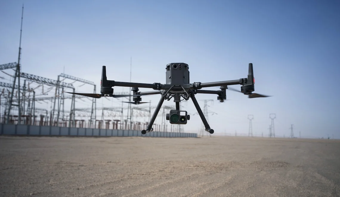
DJI Matrice 350 RTK
A flagship enterprise drone designed for heavy-duty surveying:
- 55-minute flight time and IP55 weather rating
- RTK-enabled for centimeter-level accuracy
- Supports multiple payloads including Zenmuse L2 (LiDAR) and H20N (thermal)
- Ideal for large-scale topographic surveys, 3D mapping, and thermal inspection
DJI Mavic 3 Enterprise Series
Compact, versatile options for fast deployment:
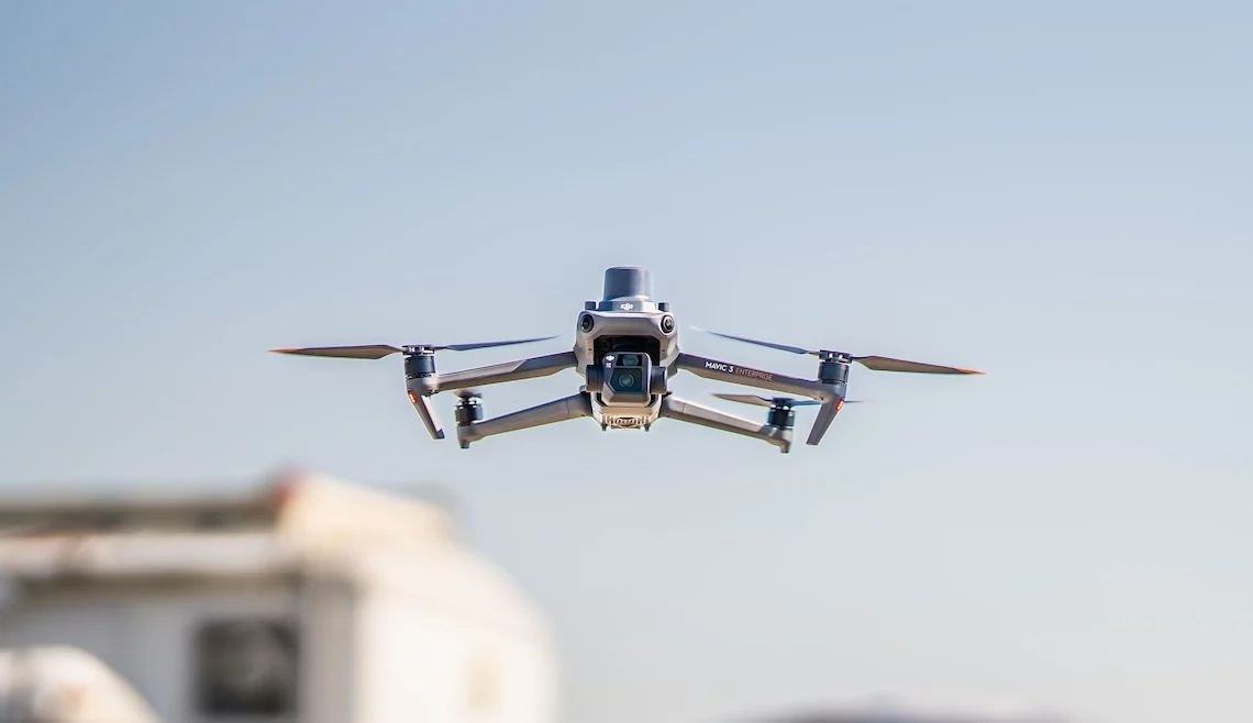
Mavic 3E
- 4/3 CMOS wide camera with mechanical shutter
- RTK support for high-precision mapping
- Excellent for construction, mining, and survey-grade orthomosaics
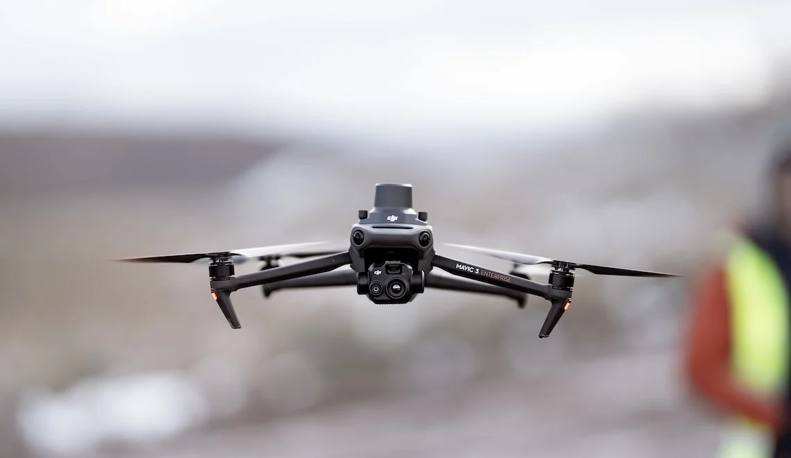
Mavic 3T
- Adds a 640 × 512 px thermal sensor
- Perfect for search and rescue, firefighting, and energy inspections
- Includes zoom and night operation features
Key Deliverables From Drone Surveying
Depending on the drone’s sensor and the post-processing software, drone surveying can produce a range of professional outputs:
2D Orthomosaic Maps
- High-resolution, true-to-scale aerial maps
- Created by stitching overlapping images
- Ideal for site planning, progress tracking, and documentation
3D Orthomosaic Maps
- Topographic maps generated via photogrammetry
- Visualize terrain elevations and land contours
- Used for volume calculations, cut/fill analysis, and flood modeling
3D Models
- Realistic, textured 3D reconstructions
- Useful for BIM comparison, stakeholder presentations, and virtual inspections
Thermal Mapping
- Detect heat anomalies with thermal imaging
- Applications include insulation checks, solar farm inspections, and crop stress monitoring
- Example: Matrice 350 RTK with Zenmuse H20N for night-vision thermal surveys
Multispectral Mapping
- Capture data across multiple wavelengths
- Essential for precision agriculture, vegetation indexing (NDVI), and resource management
- Detects plant stress, pest outbreaks, and irrigation issues not visible to the naked eye
LiDAR Point Clouds
- Laser-based terrain mapping for dense vegetation and vertical structures
- Use Zenmuse L2 or other LiDAR payloads to generate millions of georeferenced data points
- Ideal for corridor mapping, urban planning, and forestry applications

Final Thoughts
Drone surveying is rapidly becoming an industry standard thanks to its speed, accuracy, and cost-efficiency. Whether you’re surveying vast construction sites or inspecting utility lines, drones can revolutionize your workflows with actionable, real-time data.
Want to learn more or get started with the right drone platform?
Contact the experts at MultiCopter Warehouse for tailored recommendations and solutions.
To read the full article, click here.
