
Autel Robotics EVO Lite 640T Enterprise
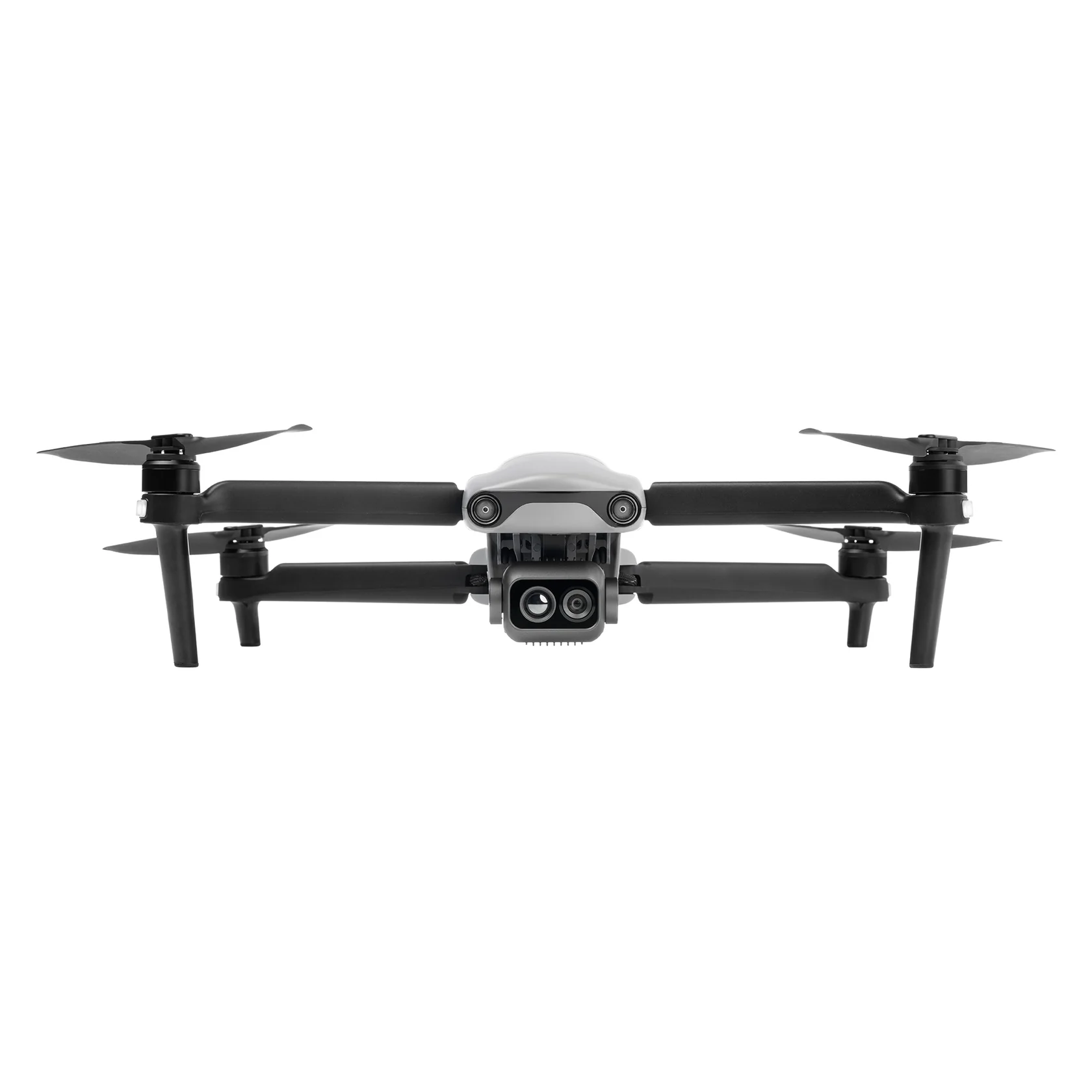
The EVO Lite 640T’s wide-angle visible light camera can record sweeping and stunningly sharp 4K30 videos or take hi-res 48MP still images. The infrared thermal camera offers 640×512 resolution and can identify temperature signatures down to -4°F and up to 1022°F. Both allow you to stay back and film close-up with a 16x digital zoom.
- 40 mph Max Horizontal Speed
- Omnidirectional Sensing System
- 14 Miles Max Operating Distance
- 40min Max Flight Time
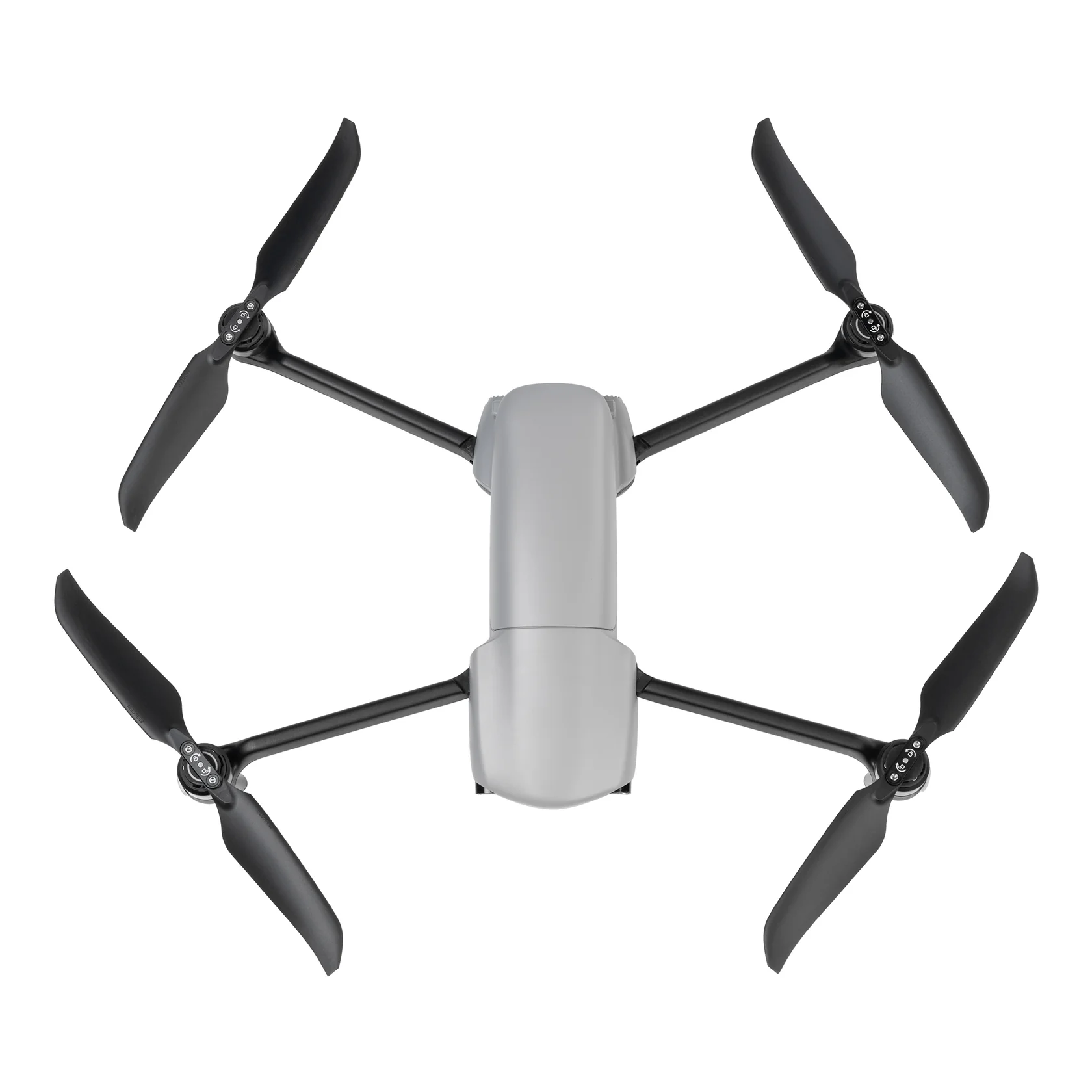
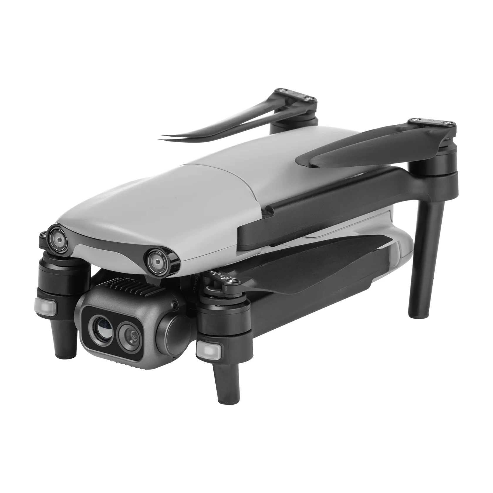
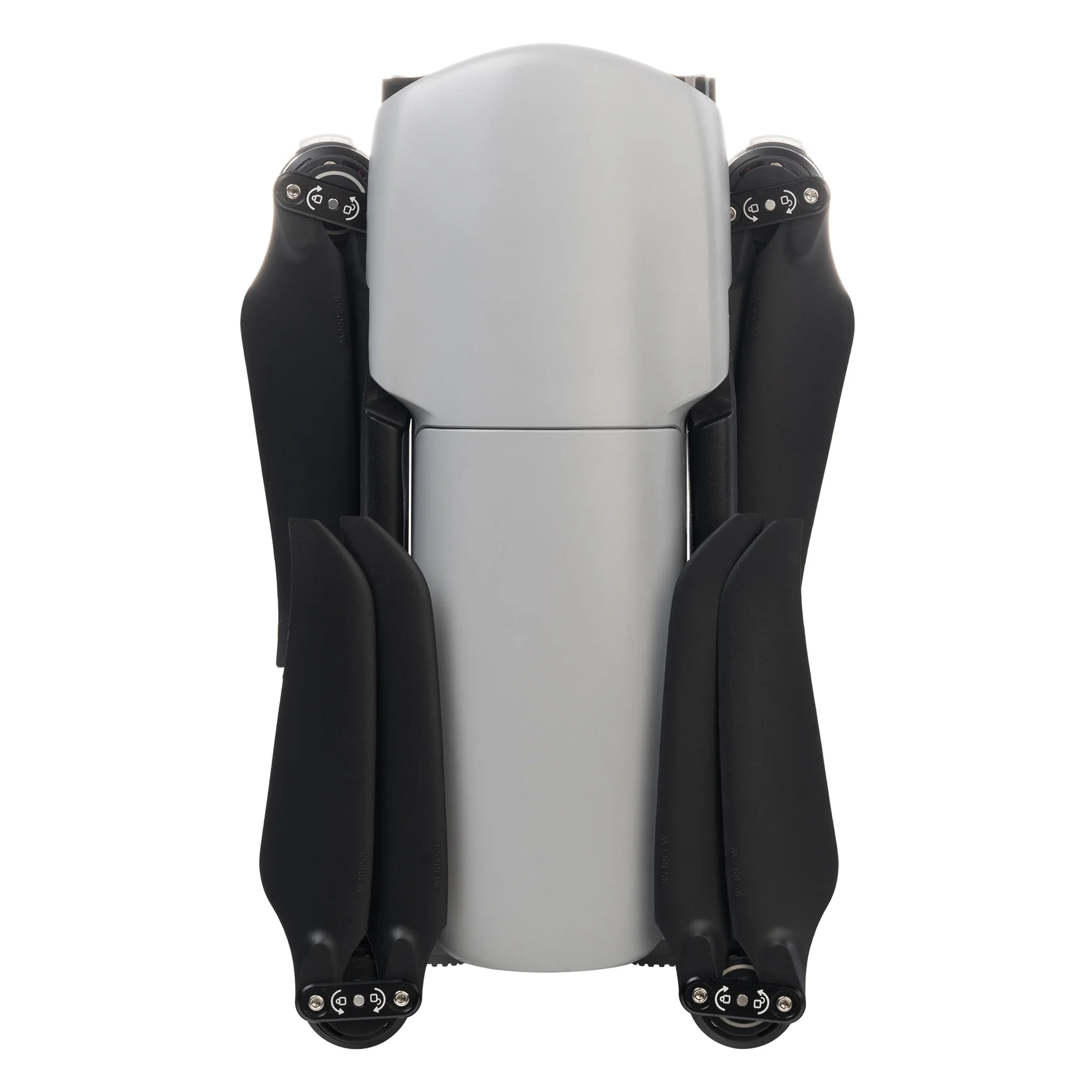
- Unfolded Dimensions
433 x 516 x 95 mm - Folded Dimensions
210 x 123 x 95 mm - Weight: 866 g
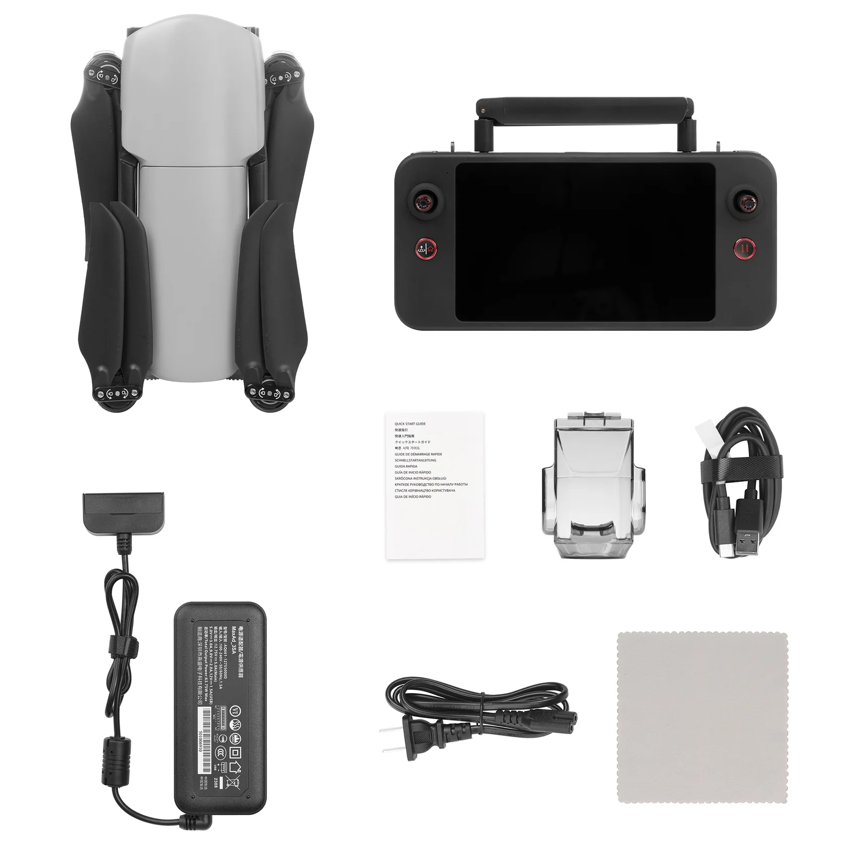
- EVO Lite Enterprise Aircraft
- Autel Smart Controller SE V2
- Flight Battery
- Battery Charger
- USB-C to USB-A Data Cable
- Limited 1-Year Manufacturer’s Warranty
")
Product Highlights

Lightweight and Portable

Simple Control

AI Target Recognition
and Positioning

6K Resolution

640*512 Infrared
Thermal Imaging

12km Video
Transmission Range

Three-Way Binocular
Vision Obstacle Avoidance

40-Minute
Flight Endurance
EVO Lite 640T Enterprise
Equipped with a dual gimbal, the wide-angle visible-light camera offers a broad field of view with vivid high-definition images, while the infrared thermal-imaging camera integrates high-resolution thermal-imaging algorithms, providing clear and detailed thermal source identification.


Split-Screen Display
Visible light, infrared, or map support dual-channel simultaneous output on the screen, providing comprehensive information through comparison.
Autel Smart Controller V3
Smart Controller V3’s 7.9-inch, 2000 nit high-brightness screen is clearly visible even under direct sunlight. SkyLink 2.0 Transmission technology guarantees long-distance operations from up to 9 miles away and enhances anti-interference abilities with triple-band frequency hopping. The customized Android system allows for additional flexibility with 3rd party apps and an IP43 rating ensures all weather performance.
- 7.9-Inch HD Touch Screen
- 2000 nits Maximum Brightness
- -4 °F to 104 °F Temp Range
- IP43 Resistance

APPLICATION SCENARIOS
Discover the evolution of industrial operations with drones. Learn about their practical applications within your specific industry.


Talk To Our Experts
Get in touch with us to schedule a meeting with one of our team members at MultiCopter Warehouse, where we can discuss and tailor the perfect solution for your needs.
