


EVO Lite Enterprise Series
The EVO Lite Enterprise Series by Autel Robotics is a cutting-edge solution for industrial applications, combining portability, advanced imaging, and intelligent features to deliver efficiency and safety in diverse scenarios.
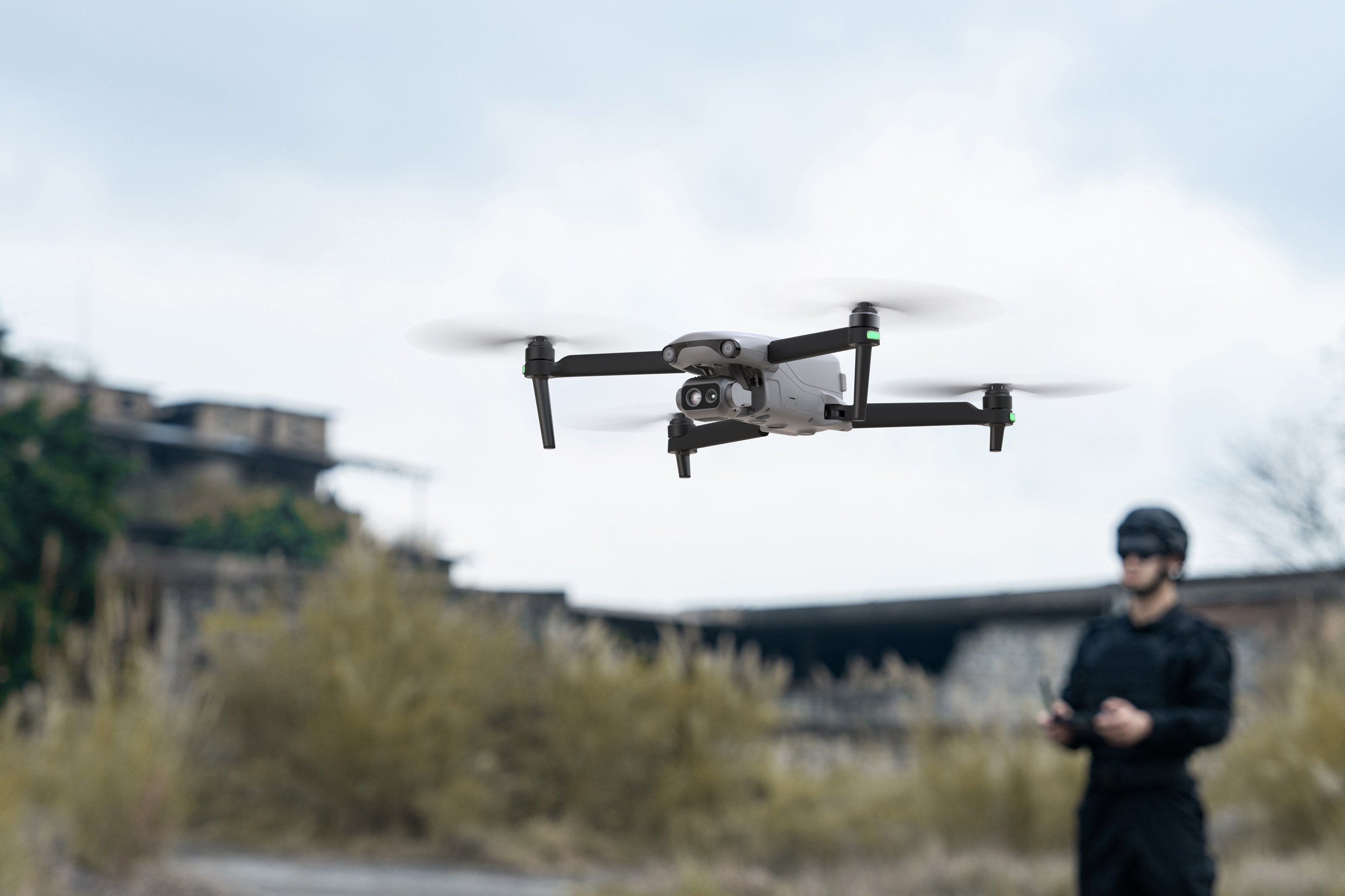
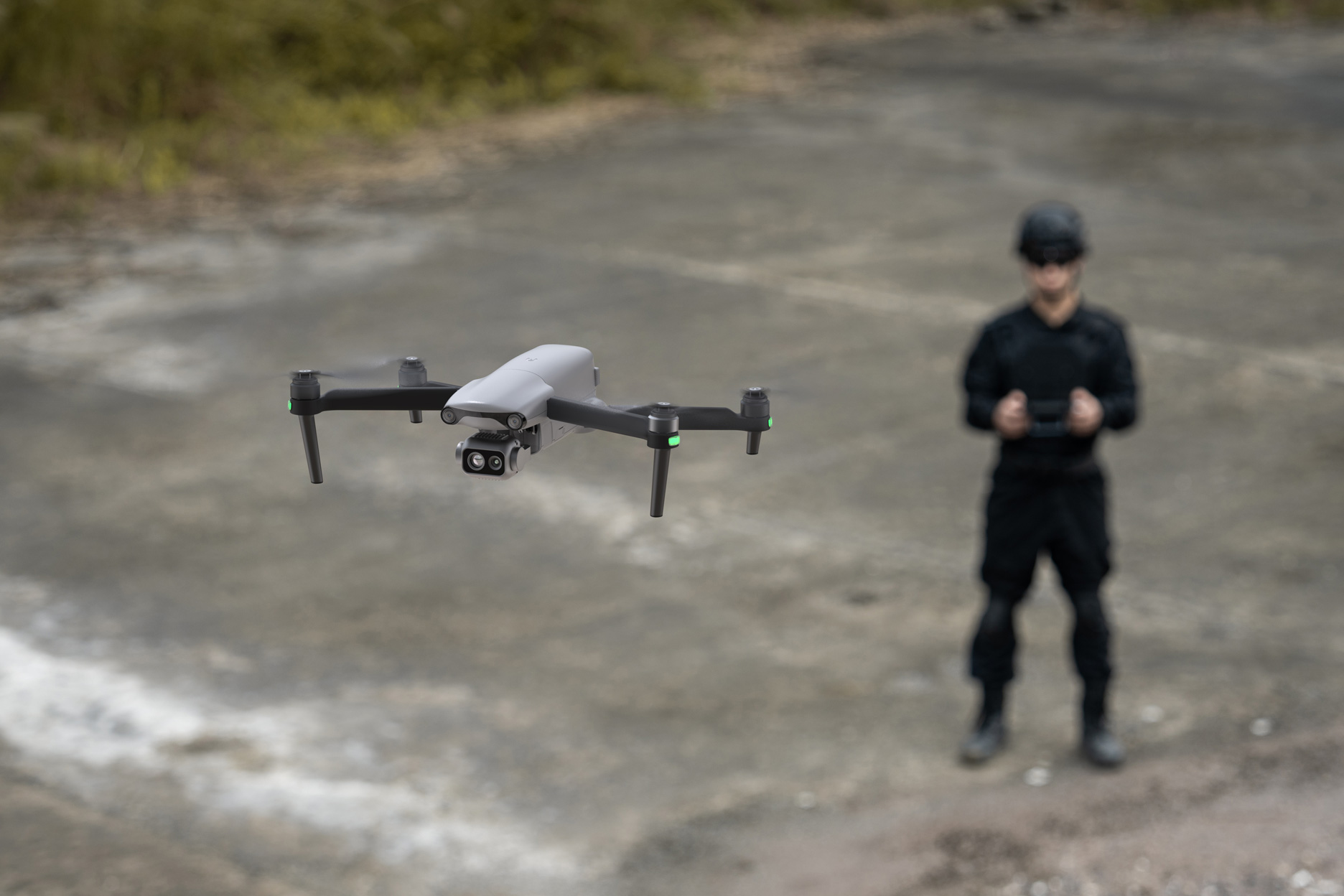
The EVO Lite Enterprise Series by Autel Robotics is a lightweight, portable drone designed for industrial applications, offering rapid deployment and simple controls. It features AI target recognition for automated mapping, three-way obstacle avoidance for safe flying, and advanced imaging capabilities. The EVO Lite 640T includes a dual gimbal with a visible-light and thermal camera for detailed imaging and decision-making. The EVO Lite 6K features a 1-inch CMOS camera for high-quality visuals. Paired with Autel’s professional flight software, it enables easy operation, single-person deployment, and efficient use in public safety and emergency rescue scenarios.
- 40 mph Max Horizontal Speed
- Omnidirectional Sensing System
- 14 Miles Max Operating Distance
- 40min Max Flight Time
- Unfolded Dimensions
433 x 516 x 95 mm - Folded Dimensions
210 x 123 x 95 mm - Weight: 866 g
- EVO Lite Enterprise Aircraft
- Autel Smart Controller SE V2
- Flight Battery
- Battery Charger
- USB-C to USB-A Data Cable
- Limited 1-Year Manufacturer’s Warranty
")
Product Highlights

Lightweight and Portable

Simple Control

AI Target Recognition
and Positioning

6K Resolution

640*512 Infrared
Thermal Imaging

12km Video
Transmission Range

Three-Way Binocular
Vision Obstacle Avoidance

40-Minute
Flight Endurance
Lightweight Yet Mighty

EVO Lite 6K
- 1″ CMOS with 4K30 Videos
- 6K 20MP Still Images
- -4°F to 1022°F Temperature Range
- AI Target Recognition & Tracking
- 3-Way Obstacle Avoidance
- Transmission Range up to 7.5 Miles
- Tri-Band Auto Frequency Hopping
- Up to 40 Minutes of Flight Time
- Integrated Data Security
- 6″ Smart Controller SE V2

EVO Lite 640T
- Dual Visible & Thermal Gimbal System
- 4K30 Video & 48MP Stills
- -4°F to 1022°F Temperature Range
- AI Target Recognition & Tracking
- 3-Way Obstacle Avoidance
- Transmission Range up to 7.5 Miles
- Tri-Band Auto Frequency Hopping
- Up to 40 Minutes of Flight Time
- Integrated Data Security
- 6″ Smart Controller SE V2

Lightweight and Portable
The EVO Lite Enterprise Series aircraft weigh only 866 grams and have folded dimensions of just 210*123*95mm, making them easy to carry in a backpack. With a simple operation, they are ideal for efficient execution of missions by a single operator.
Autel Enterprise App
Autel Enterprise is a professional flight mission software designed for industry applications by Autel Robotics. It features an optimized interaction design for simple and efficient operation, an editable toolbar design for intuitive use, and integrates intelligent and professional functions to fully utilize the industry value of the EVO Lite Enterprise Series aircraft.


AI Target Recognition and Positioning
Utilizing wide-angle or infrared lenses combined with intelligent AI algorithms and a self-learning system, the aircraft can automatically recognize and locate, including people, cars, and boats, projecting their positions on the map.
APPLICATION SCENARIOS
Discover the evolution of industrial operations with drones. Learn about their practical applications within your specific industry.

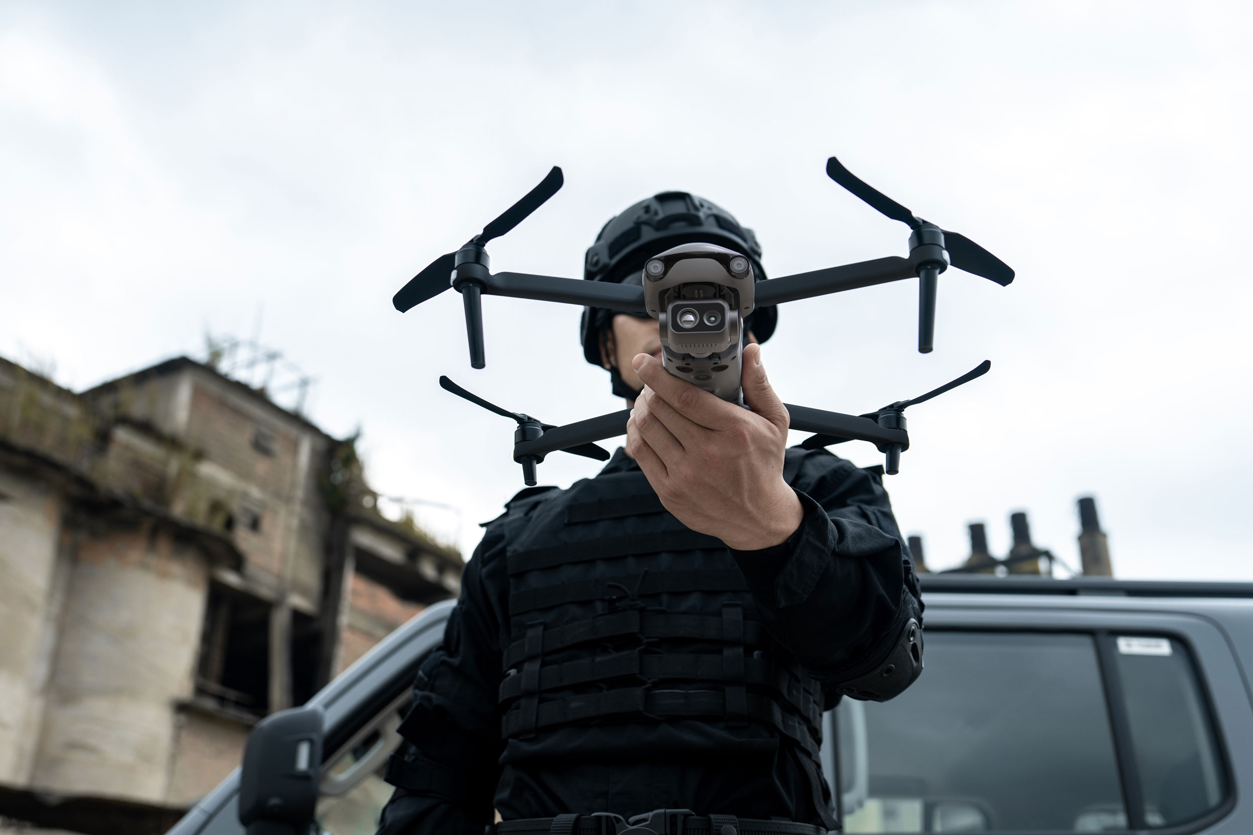
Law Enforcement
Enhance law enforcement by providing aerial surveillance, search-and-rescue capabilities, and real-time situational awareness, improving operational efficiency and safety.

Security and Patrol
Enable efficient and discreet surveillance by offering real-time aerial monitoring, high-resolution imaging, and access to hard-to-reach areas.

Emergency Rescue
Respond effectively with aerial insights. Collect important data in real time. Direct aid where it’s needed most.
Talk To Our Experts
Get in touch with us to schedule a meeting with one of our team members at MultiCopter Warehouse, where we can discuss and tailor the perfect solution for your needs.
