Autel Robotics EVO Max 4T-XE
- 42-Min Max Flight Time
- Omnidirectional Sensing System
- 12.4 Miles Operating Distance
- -4º to 122º F – Operating Temperature
- Unfolded Dimensions
257 x 133 x 136 mm - Folded Dimensions
576 x 149 x 660 mm - Weight With batteries:
Approx. 1620 g
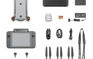
- Aircraft
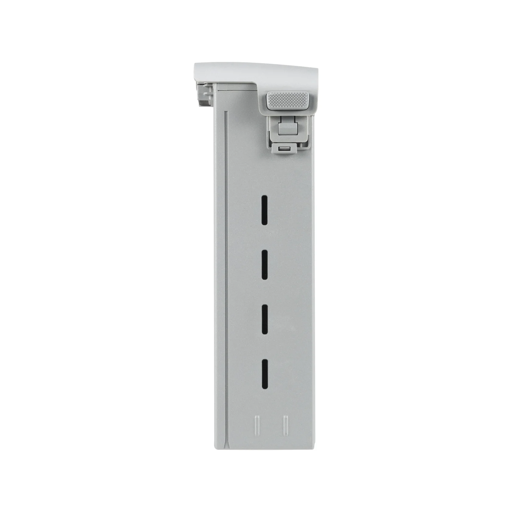
- Flight Battery
- Smart Controller V3
- Rugged Case
- 64GB SD Card
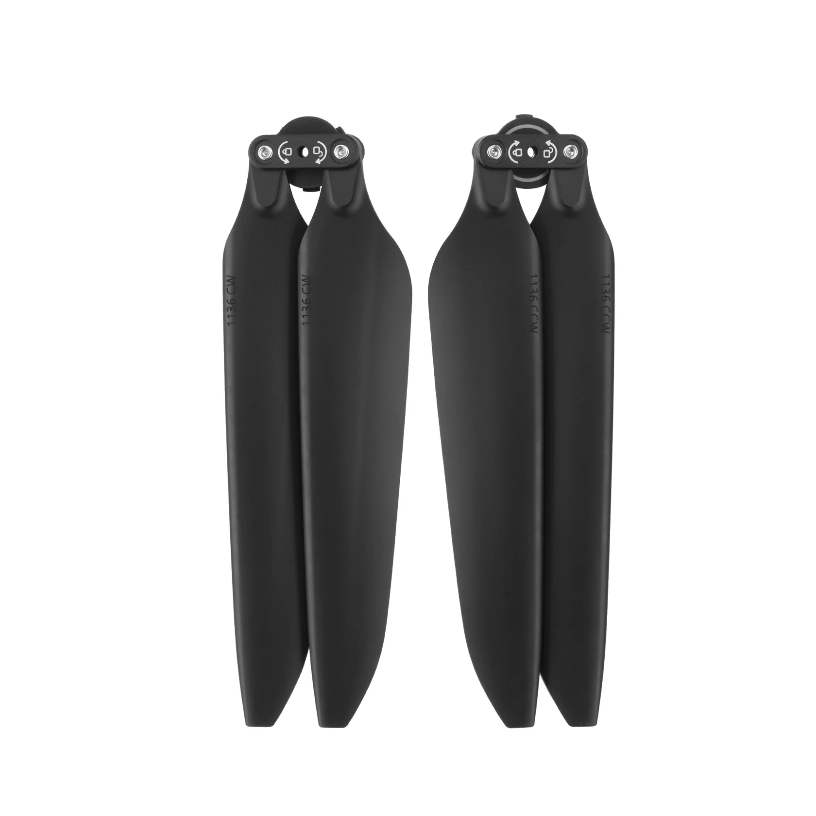
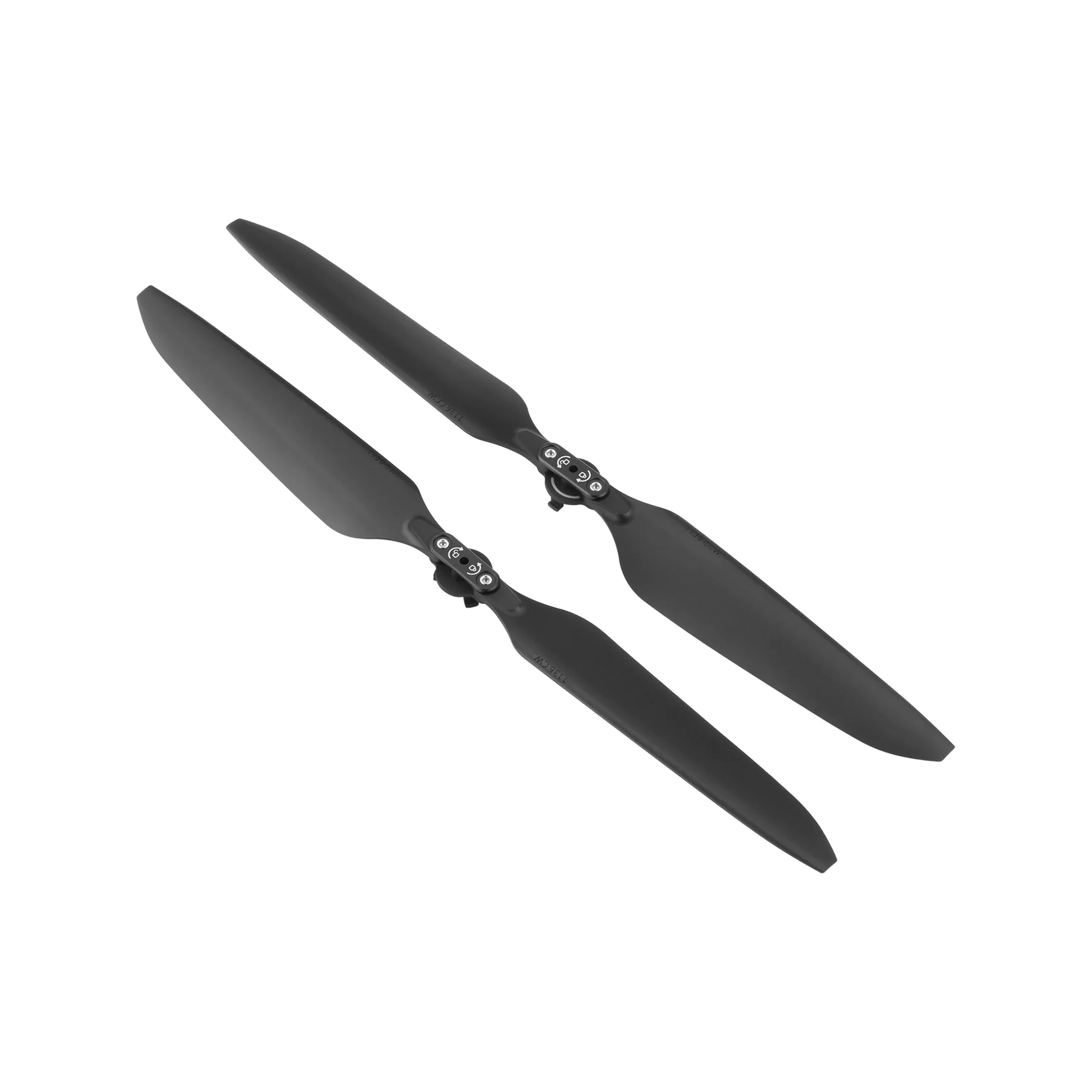
- Propellers
- Flight Battery Charger
- Smart Controller Lanyard
- Smart Controller Cover
- RC Charger
- RC Charger Cable
- Tools

Reach New Frontiers
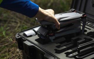
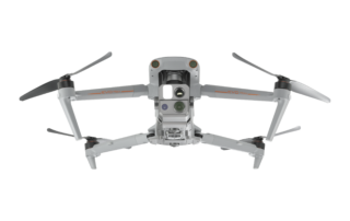
For critical industrial and first responder missions, the EVO Max 4T-XE Industrial Drone from Autel is an ideal tool, providing a robust set of technologies for efficient handling of a wide variety of scenarios. The primary payload offers an 8K zoom, 4K low-light wide-angle, and thermal camera, along with a laser rangefinder. Together they make quick work of inspections, search and rescue, security overwatch, land surveying, and many other operations.

Exceptional Anti-Interference Capability
Autel EVO Max 4T-XE high-precision visual positioning capabilities, adaptive frequency-hopping and SLAM navigation technology empowers resistance from interference and enables the drone to fly confidently near powerlines, critical structures and in complex areas.
A-Mesh Networking
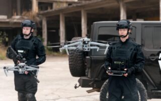
With integrated A-Mesh networking technology, all drones and controllers establish a private network, supporting various working modes such as “single-controller multiple drones” and “master-slave dual control”. Even in scenarios with long distances and obstacles, such as mountains, buildings, or areas without public network, the drones can achieve multi-device networking, enabling drone-to-drone autonomous communication, connection, and collaboration.


Autonomous Flight
Autel’s Autonomy Engine is continuously improving, enabling functions such as global path planning and 3D scene reconstruction in complex environments. It ofers various obstacle avoidance capabilities, including return-to-home, manual contro, and mision planning, providing a more professional solution for industries such as security, inspection, and surveying.
APPLICATION SCENARIOS
Discover the evolution of industrial operations with drones. Learn about their practical applications within your specific industry.
Talk To Our Experts
Get in touch with us to schedule a meeting with one of our team members at MultiCopter Warehouse, where we can discuss and tailor the perfect solution for your needs.

