RTK
Real-Time Kinematics
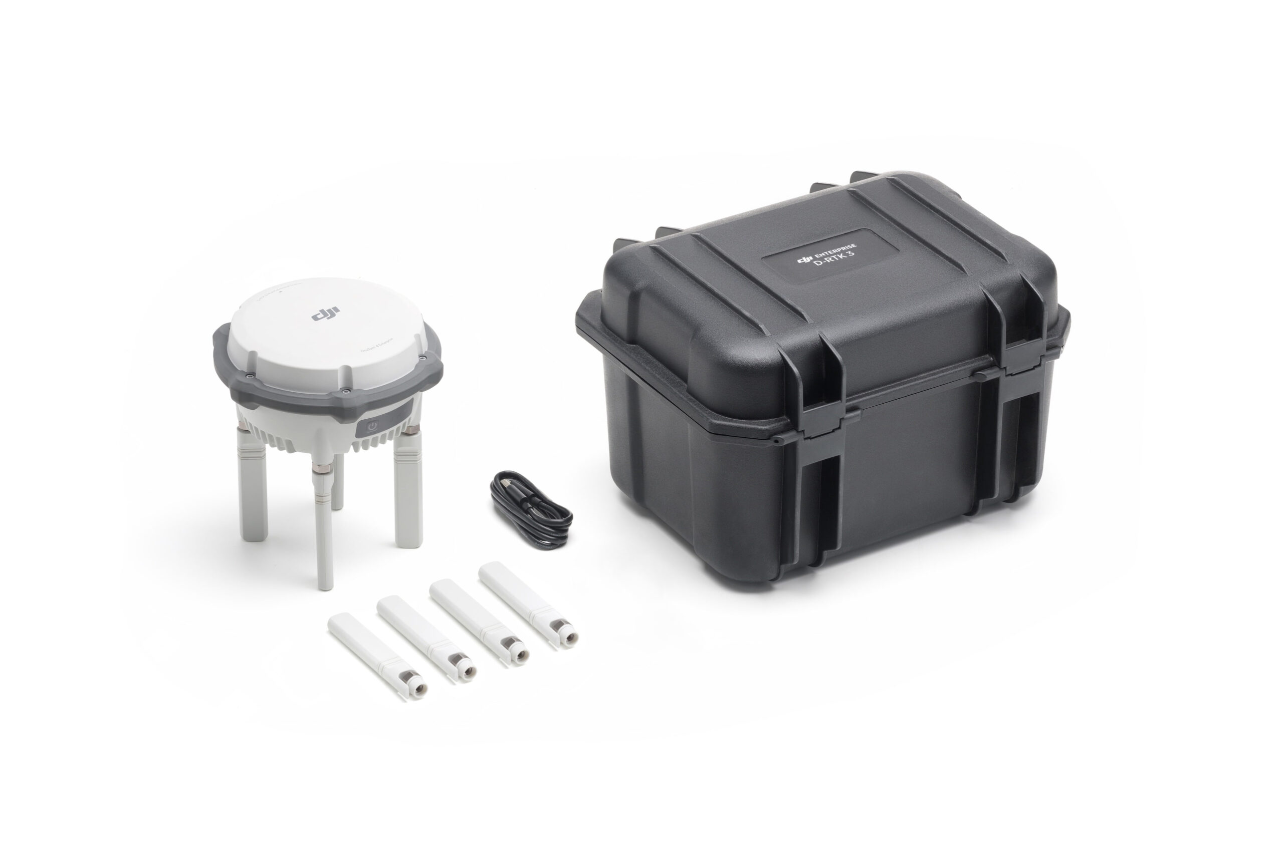
Real Time Kinematics, abbreviated as RTK, stands out as a specialized satellite positioning technique capable of delivering centimeter-level accuracy, rendering it indispensable for surveyors globally. This method entails the comparison of satellite data with ground station measurements to provide precise, instantaneous information.
RTK Advantages
RTK GPS data is far superior to satellite data on its own because it can be used to correct inaccuracies and discrepancies, ensuring information hews as close to reality as possible. There are numerous factors that can skew satellite coordinates, including incremental weather, tall buildings, mountains, and other issues calling for RTK correction.
Improved Accuracy
Real-time Corrections
Fewer Ground Control Points
Applications of RTK GPS
- Surveying and Mapping: RTK GPS is widely used in surveying and mapping applications because of its high accuracy and real-time capabilities. It is often used to create detailed maps of land, buildings, and other structures, as well as for land surveying and engineering projects.
- Agriculture: RTK GPS is also used in agriculture, particularly for precision farming. It can be used to accurately map fields, measure crop yields, and guide tractors and other equipment. This allows farmers to optimize their crop yields and reduce costs by using less fertilizer and other inputs.
- Construction: RTK GPS is used in construction projects to ensure that buildings and other structures are built to precise specifications. It is often used to guide heavy machinery, such as excavators and bulldozers, as well as for site surveys and building inspections.
- Search and Rescue: RTK GPS is also used in search and rescue operations, particularly for tracking and locating people in wilderness or other difficult-to-navigate environments.
Talk To Our Experts
Get in touch with us to schedule a meeting with one of our team members at MultiCopter Warehouse, where we can discuss and tailor the perfect solution for your needs.


