Teledyne FLIR Siras
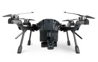
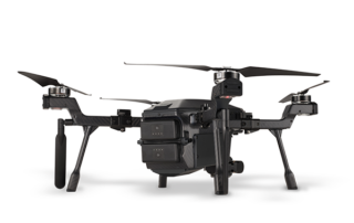
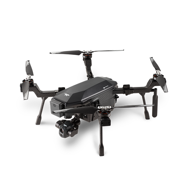
The Teledyne FLIR Siras is a cost-effective, professional drone designed for versatile industrial and utility applications, including inspection, firefighting, law enforcement, and search and rescue. It features front collision avoidance, hot-swappable batteries, and a 31-minute flight time, with a quick-connect Vue® TV128 payload that delivers high-resolution visible and thermal imagery. With its focus on data security and ease of use, Siras stores imagery locally and requires no online profile, offering top-tier thermal imaging and mission flexibility.
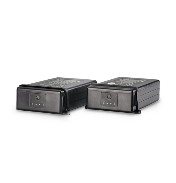
SIRAS is an affordable, easy-to-fly, IP54-rated professional drone with an interchangeable payload system for industrial and utilities inspection, firefighting, law enforcement, and search and rescue missions. With front collision avoidance, hot-swappable batteries, a 31-minute flight time, and no restrictive geofencing, professional UAV pilots can fly safely when and where the mission demands.
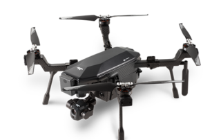
The quick-connect Vue® TV128 payload provides visible and thermal imagery in real-time. The 16MP visible camera delivers clear, pinpoint details with a 128x zoom. A 640×512-pixel, radiometric FLIR Boson® provides sharp thermal imagery, 5x zoom, and accurate temperature measurement. Use patented MSX® to further improve thermal imagery and improve situational awareness.
Designed for data security, SIRAS stores imagery on an onboard microSD card and does not include cloud connection capability. Pilots are not required to create an online profile, increasing ease of use, and reducing potential unintended online data access. SIRAS provides best-in-class thermal imagery, mission flexibility, and secure data, enabling the pros to get the job done.
- 31-Min Max Flight Time
- Maximum Speed 40mph
- Front-Facing Radar Sensing System
- 6 Miles Operating Distance
- 10º to 104º F – Operating Temperature
- 1GB Internal Storage
- IP 54 Rating
- Weight 3.1kg
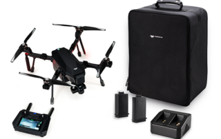
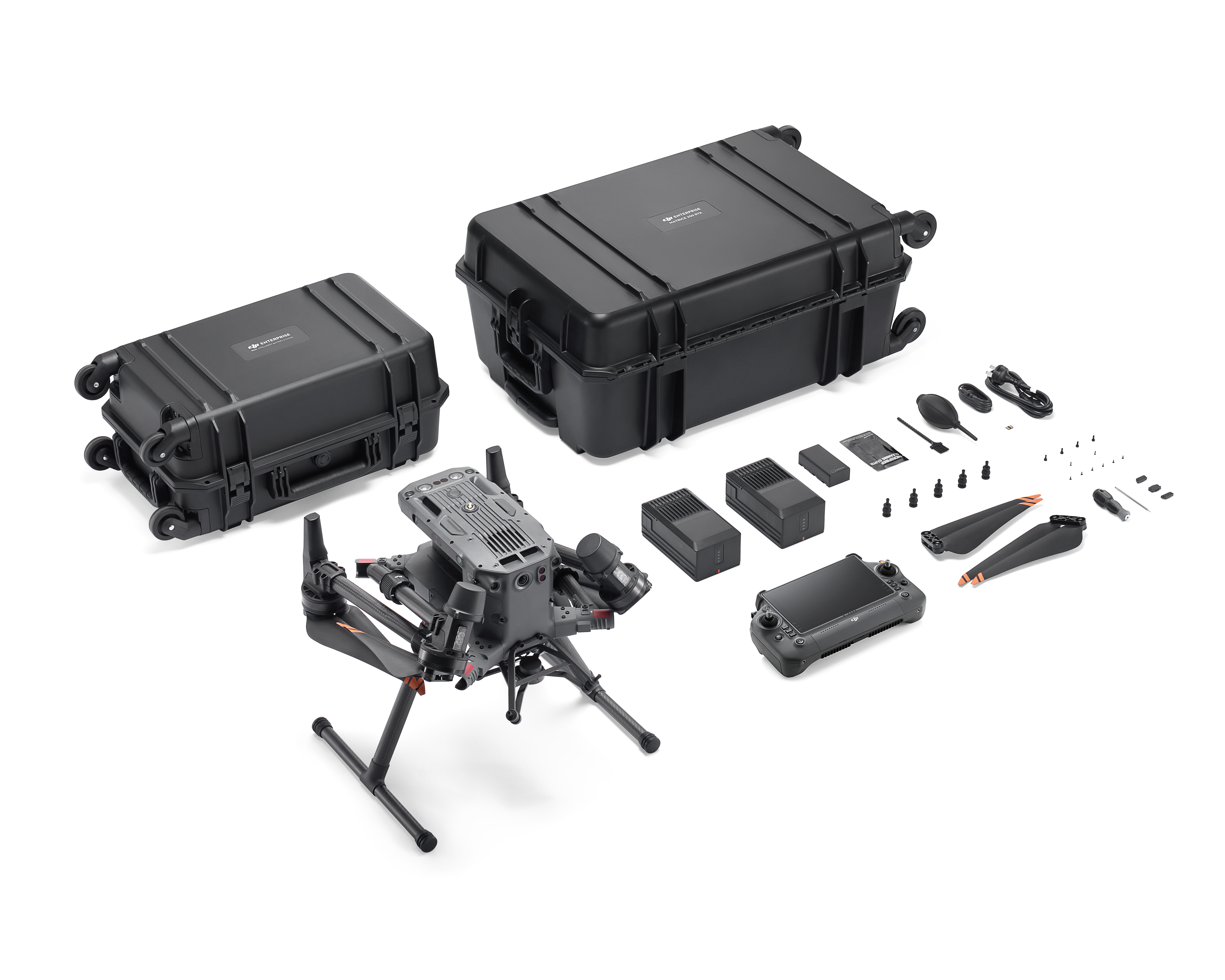
- Siras Drone
- RC Plus
- 2 x Battery
- Charging Hub
- 2 x Pair Propellers
- Case
Product Highlights
Affordable and Easy-to-Fly
Designed for professional use at an accessible price point. User-friendly controls and intuitive flight experience.
IP54 Rating
Provides protection against dust and water spray, enhancing durability in various environments.
Interchangeable Payload System
Versatile for different applications: industrial and utilities inspection, firefighting, law enforcement, and search and rescue.
Front Collision Avoidance
Equipped with sensors to prevent collisions and enhance flight safety.
Hot-Swappable Batteries
Allows for quick battery changes in the field, maximizing operational uptime.
31-Minute Flight Time
Extended flight duration for comprehensive mission coverage.
No Restrictive Geofencing
Flexible flight operations without geofencing limitations.
Vue® TV128 Payload
Visible Imagery: 16MP camera with 128x zoom for detailed, high-resolution visuals. Thermal Imagery: 640×512-pixel FLIR Boson® camera with 5x zoom and radiometric capabilities

Secure Flight Data From An Affordable And Flexible Aircraft
Operate in rugged environments with data security and flexibility for future payload needs.
- Data safely stored on an onboard microSD card
- No online account is required for flight
- Future-proofed with quick-connect, swappable gimbal
- IP-54-rated dust and moisture resistance
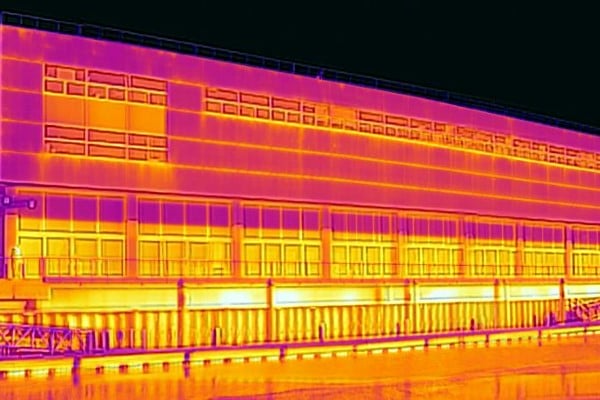
See And Do More With Clear Thermal and Visible Imagery + FLIR MSX
Real-time, high-resolution imagery provides critical data for immediate decision support and post-processing.
- Measure temperature from the air
- Zoom up to 5x with 640×512 FLIR Boson thermal camera
- Pinpoint details with 16MP visible resolution and 128x zoom
- Compatible with AirData™ UAV and DroneLogbook™ software

Repeatable Routes
Get in the air quickly without restrictive geofencing and fly for up to 31 minutes.
- Fly within two minutes of power on with no geofencing
- Maximize time in the air with 31-minute flight time and hot-swappable batteries
- Maintain connection around obstacles with dual-band 2.4/5.8 GHz
- Detect objects day and night with radar-based front collision avoidance
Talk To Our Experts
Get in touch with us to schedule a meeting with one of our team members at MultiCopter Warehouse, where we can discuss and tailor the perfect solution for your needs.

