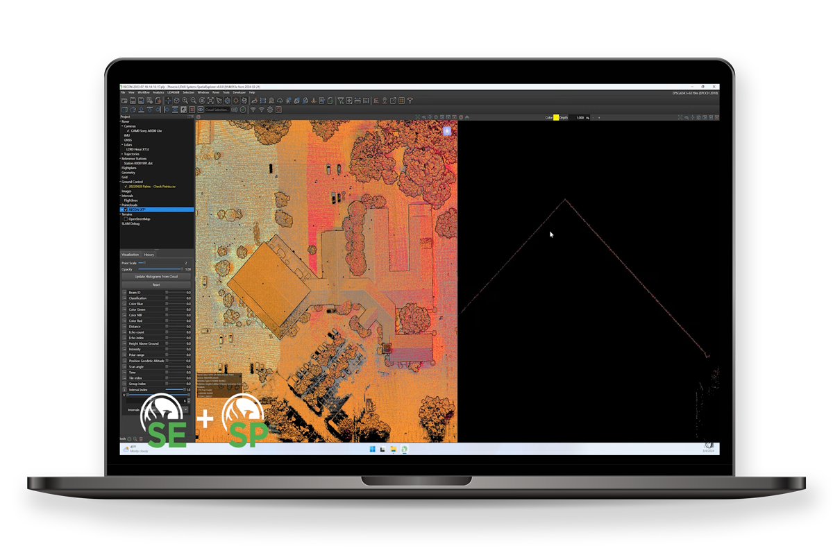
Phoenix LiDAR SpatialExplorer 8.0
A complete start to finish data acquisition and processing workflow.
SpatialExplorer is the core of Phoenix LiDAR’s desktop software suite. It is an expandable program that is built to ensure you get the data you need. Starting from data acquisition, SpatialExplorer provides tools for real time streaming point clouds, telemetry monitoring and other in field quality control. Post acquisition data processing tools put users in control of their datasets. SpatialExplorer transforms raw data inputs into geospatially accurate and refined outputs. SpatialExplorer can be expanded with a selection of plug-in modules that add advanced functionality at critical steps in the data collection and production.
SpatialExplorer Key Features
Acquisition
- Configure all system sensor and store custom profiles to ensure the correct settings during each acquisition
- Live sensor control during acquisition allows the operator to respond as necessary
In-Field QC
- A real-time point cloud and detailed navigation feedback provide instantaneous data quality control in the field
- Interactive data inspection with measurements and profile slices
Post-Processing
- Process data from airborne, mobile, or other types of acquisitions using a single software
- Interactive data inspection with measurements and profile slices
- Flightline management and data filters
- LiDAR and imagery fusion and export
- Virtually unlimited project sizes
New in the SpatialExplorer 8.0 Suite
Talk To Our Experts
Get in touch with us to schedule a meeting with one of our team members at MultiCopter Warehouse, where we can discuss and tailor the perfect solution for your needs.

