Drones for Surveying and Mapping
Discover how drones are reshaping the survey and mapping industries, while offering unparalleled efficiency, safety, and accuracy in data collection.
Drone technology has revolutionized surveying practices in all aspects of the industry. Unmanned Aerials Vehicals, UAVs offer faster, more cost-effective, and safer alternatives to traditional methods.They allow for faster data collection without endangering workers and require minimal training to operate. This accessibility and affordability of drones have made them mainstream tools on worksites, facilitating more accurate and up-to-date data acquisition. By leveraging drone-captured survey data, companies can anticipate and address issues early, leading to enhanced planning, budgeting, and contractor management. Furthermore, the proper processing of drone data can improve team accountability, communication, and collaboration.
Advantages of using drones for land surveying and mapping.
Reduced Cost
Significantly reduce costs and save time by using affordable UAV solutions that automate data collection and processing.
Accurate Data Capture
Visualize results with accurate, high-resolution maps, Point Clouds, and 3D models.
Data Archiving
Keep digital records that can be easily used for regular land cover comparisons, so teams can more easily and dynamically monitor changes.

Photogrammetry
Photogrammetry stands out as a prevalent method in drone surveying. By employing dedicated cameras affixed to drones, this technique captures images from various perspectives. Subsequently, these images undergo processing to generate precise 3D models of landscapes, structures, and items. Through the integration of these images, surveyors can produce maps, models, contours, and surfaces. Aerial surveys deliver a tangible blueprint of the site within minutes, a stark contrast to the traditional days-long process.
LiDAR
Light Detection and Ranging (LiDAR), represents another widely utilized method in drone surveying. These sensors emit laser, which are reflected off of surfaces and then return to the sensor. Through the calculation of the lasers’ time of flight, drones can construct meticulous 3D representations of the surveyed region. LiDAR proves especially beneficial for mapping through dense foliage, scrutinizing terrain, and crafting exceptionally precise elevation models.


Topography
Using drones for topography land surveying provides numerous advantages. They offer cost-effectiveness by reducing the need for expensive equipment and labor. Increase efficiency by covering large areas quickly and safely, accessing remote or hazardous terrain with ease. Equipped with various sensors, they provide accurate data tailored to specific surveying needs while minimizing environmental impact compared to traditional methods. In summary, drones offer a flexible, accurate, and eco-friendly solution for conducting topography land surveys.
Multispectral
Multispectral survey allows identifying the qualitative and quantitative characteristics of vegetation and fertile soil layer while performing the underlying surface inspection using high-precision equipment for aerial photography.
Multispectral surveying employs cameras capable of capturing images across various wavelengths of the electromagnetic spectrum. These cameras possess the ability to detect invisible light, including infrared and ultraviolet, thereby offering invaluable data for diverse applications. Take agriculture, for instance: multispectral surveys prove instrumental in assessing crop vitality, pinpointing diseases or nutrient deficiencies, and refining irrigation methods. This, in turn, fosters enhanced efficiency and sustainability in farming practices.


Thermal
Thermal surveying employs infrared cameras attached to drones to record temperature fluctuations within a designated area. This method finds frequent application in examining buildings for insulation breaches, pinpointing heat origins, and evaluating solar panel setups. Through the acquisition of thermal data, drone surveys can pinpoint energy wastage and offer essential input for energy audits and upkeep.
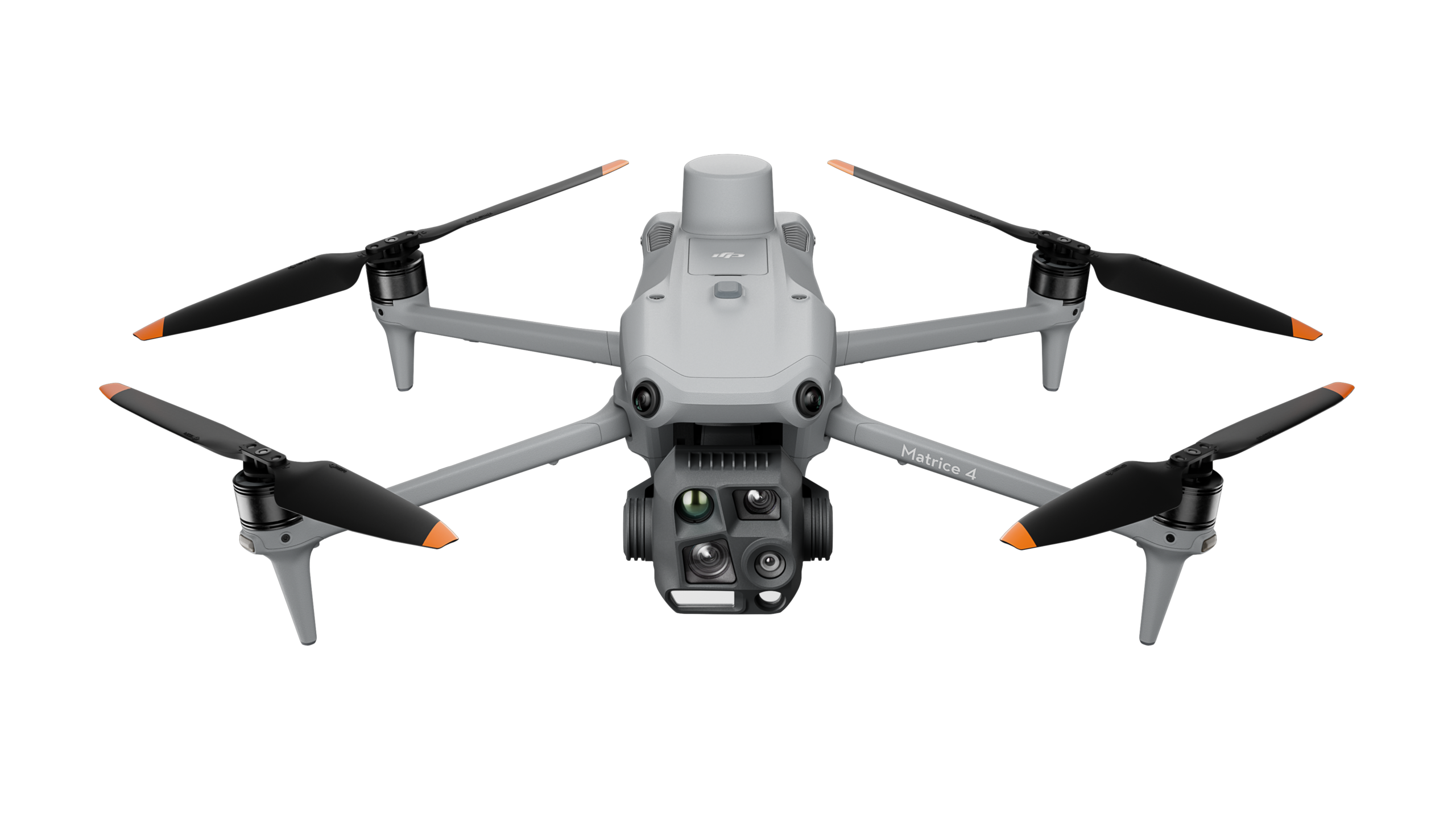
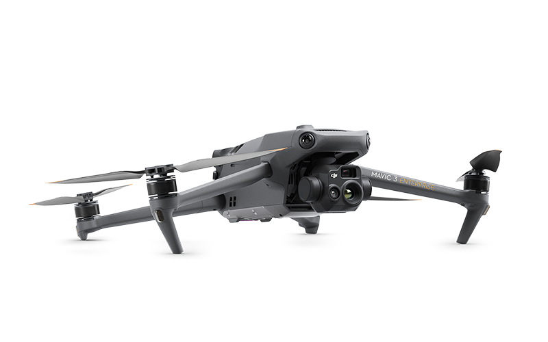
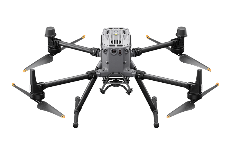
Related Platforms
Quickly generate accurate 2D and 3D models. Cover more ground, improve safety, and reduce costs.

Case
Studies
Industry leaders across various sectors are harnessing the power of drones to revolutionize their operations. Here’s a glimpse into how drones are being put to work in different industries.


Talk To Our Experts
Get in touch with us to schedule a meeting with one of our team members at MultiCopter Warehouse, where we can discuss and tailor the perfect solution for your needs.
