


Teledyne EchoOne
The EchoONE from Teledyne OPTECH is an ultra-lightweight, NDAA-compliant airborne LiDAR scanner designed for UAV integration, delivering long-range, engineering-grade, colorized 3D point clouds with real-time georeferencing for surveying, asset management, vegetation, and transportation projects.
The EchoONE from Teledyne OPTECH is a next-generation, ultra-lightweight airborne LiDAR solution engineered specifically for seamless UAV integration without compromising performance. Designed to deliver long-range, high-precision data capture, EchoONE produces dense, engineering-grade 3D point clouds with real-time georeferencing and optional colorization for enhanced visualization and analysis.
Built to meet NDAA compliance requirements, EchoONE provides surveyors, mapping professionals, and infrastructure teams with a powerful and reliable tool for topographic mapping, corridor mapping, asset management, vegetation analysis, and transportation projects. Its compact form factor and optimized power efficiency allow for extended flight operations while maintaining exceptional accuracy, making it an ideal solution for organizations seeking professional-grade LiDAR performance in a UAV-ready platform.
- System Accuracy: 1.5 cm
- Precision: 5mm
- Max AGL: 175m
- Weight: 1.65 kg
- FOV (Horizontal): 90º
- FOV (Vertical): 20º
- Number of returns: 8 per pulse
- Oboard Storage: 512GB USB
- Dimensions
170mm x 144mm x 120mm - Ingress Rating: IP54
- Operational Voltage Range: 9-50V
- Power Consumption: 85W Max
- 5MP global shutter camera
- Optional 61MP ILX-LR1 Camera
WISPR SkyScout 2+

DJI Matrice 350 RTK

Inspired Flight IF800 Tomcat

Inspired Flight IF1200
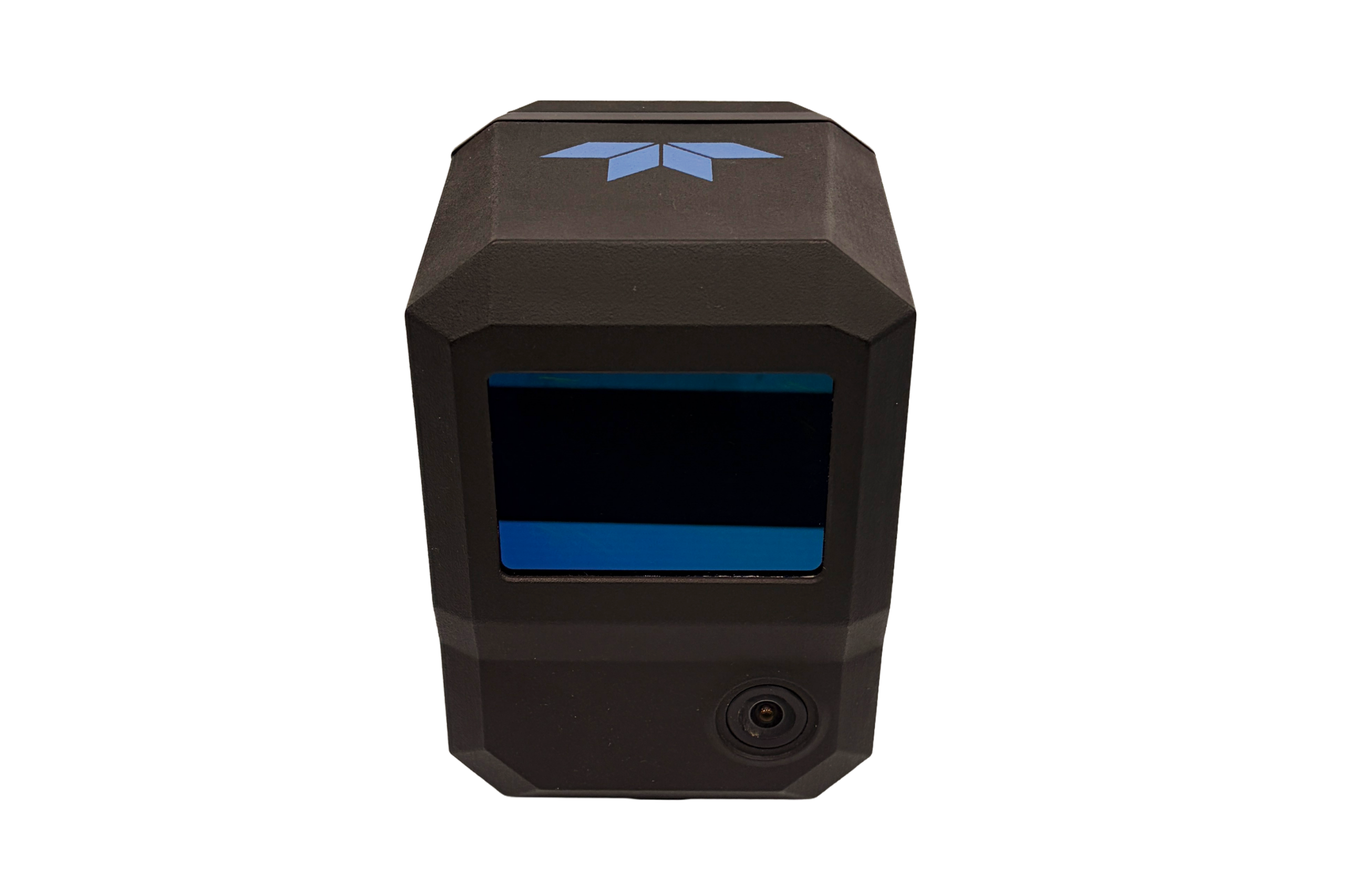
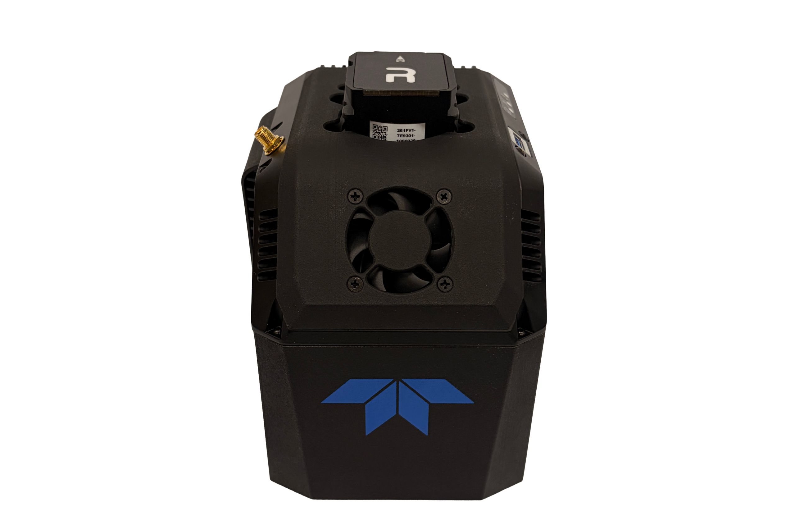
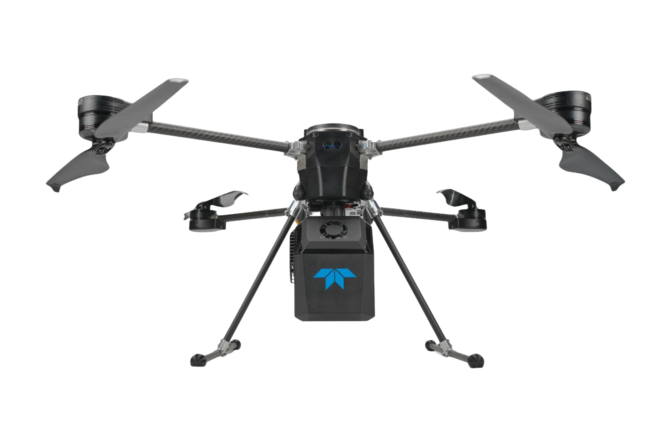
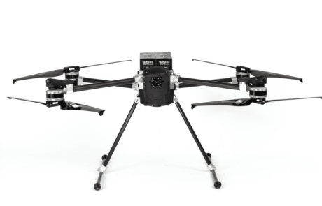
EchoONE
Long-range and lightweight. The secure, lightweight real-time airborne laser scanner.
Secure lightweight laser scanner for UAVs
The Teledyne OPTECH EchoONE is a secure, lightweight airborne laser scanner compatible with UAVs such as the DJI M300/M350, Inspired Flight IF800, WISPR Skyscout, and others. For applications such as land surveying, electric utility vegetation management, asset management, and transportation projects, the EchoONE delivers secure, colorized engineering-grade lidar point clouds.
Long-range and Lightweight
EchoONE weighs just 1.65kg and can be operated from smaller UAVs such as the Freefly Astro, Inspired Flight IF800 and DJI M300/M350, while operating reliably at a regulatory limit of 120m / 400ft agl delivering an accuracy of up-to 1.5cm RMSZ, ranging precision of 5mm and 0.5mrad 1/e2 beam divergence resulting in clean and precise point clouds.

Accurate & Fast
Full undecimated georeferenced point clouds generated in real-time allowing infield verification combined with rapid post-processing through RESEPI’s “one-click” PC-Master Pro post-processing solution. Full-featured post-processing available with Teledyne Geospatial LMS Professional.
Talk To Our Experts
Get in touch with us to schedule a meeting with one of our team members at MultiCopter Warehouse, where we can discuss and tailor the perfect solution for your needs.
