
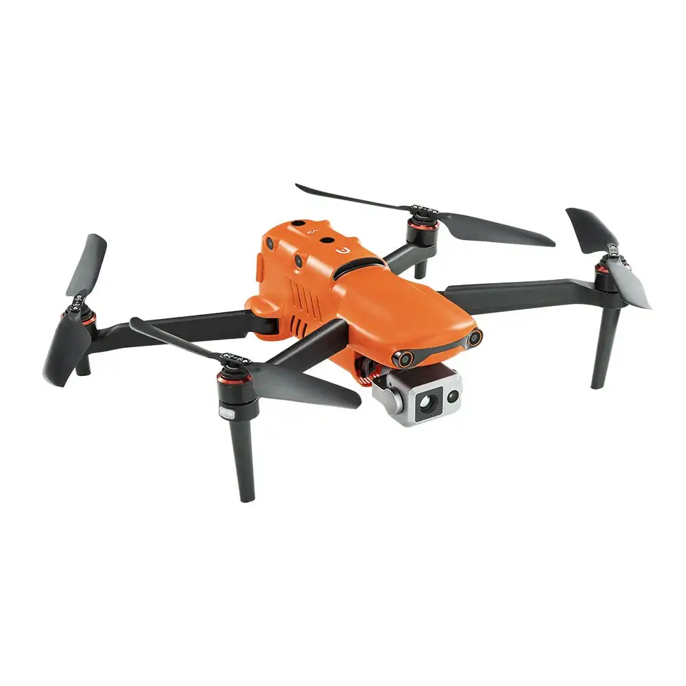

Autel Robotics EVO II Dual 640T V3
The leader in picture quality and flight intelligence just got even better with the launch of the Autel EVO II Dual 640T V3. This drone carries the best of its predecessor plus the power of a new RTK module and significant improvements that will surely improve how you carry out your aerial missions.
The Autel Robotics EVO II Dual 640T V3 can provide a variety of professions and industries with a fast aerial response and essential data in harsh conditions. With a Dual 50MP 4K HDR visual camera and a 640 x 512 thermal imaging camera, the EVO II Dual 640T is ideal for public safety officials, industrial workers, and professional filmmakers alike.
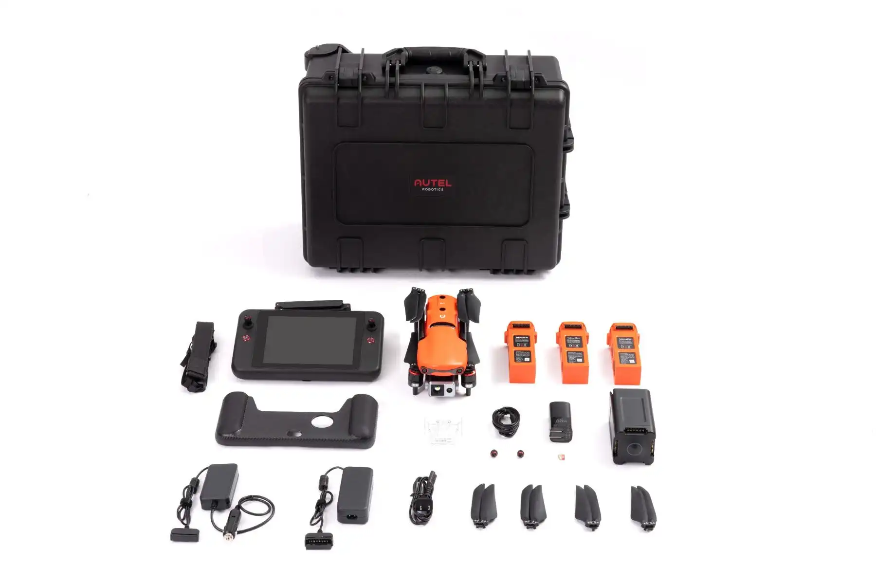
With the inclusion of an RTK module, real-time RTK measurements with centimeter-level accuracy are possible, expanding this bundle’s usefulness to construction and agriculture professionals. In any of these scenarios, the drone can handle a temperature range of 14 to 104°F and winds up to 39 mph. The bundle’s accessories give you multiple batteries, a smart controller, and a host of essential items to get you up and flying out of the box.
- 38-Min Max Flight Time
- 360º Sensing System
- 9.3 Miles Operating Distance
- -10º to 40º C – Operating Temperature
- Size: 457 x 558 x 108 mm
- Max Flight Altitude: 5000m
- Weight: 1209g
- 1x Aircraft (including battery, propellers, gimbal cover, and 32G SD Card)
- 1x Remote Controller
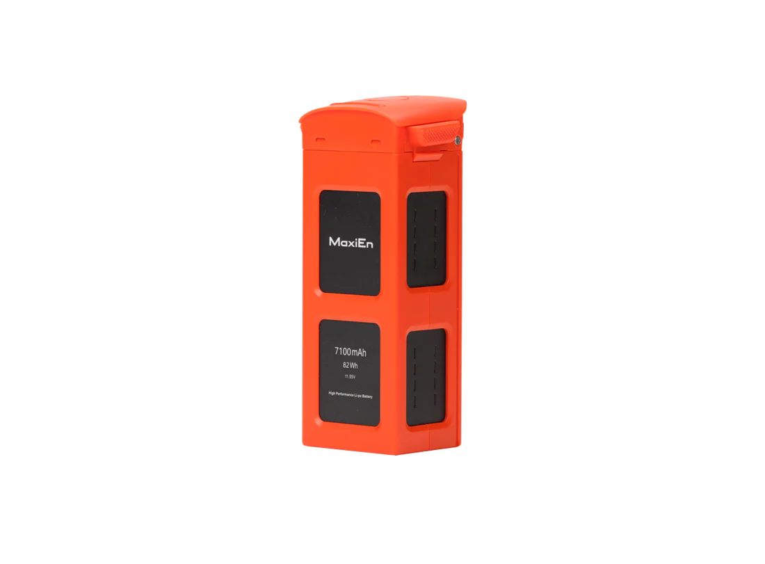
- 2x Spare batteries
- 2x Spare propellers
- 1x Battery charger + power cable
- 1X Car charger
- 1x Multi-charger
- 1x RC charger
- 1x RC charging cable
- 1x RC lanyard
- 1x RC protective case
- 1x Spare control stick
- 1x Protector case
- 1x Manual


640×512 25Hz New Thermal Imaging Sensor
Equipped with a 640 x 512 high-resolution thermal imaging camera featuring a 13mm focal length lens and 16x digital zoom, it is easier than ever to observe distant targets. The system uses a new image processing algorithm, making thermal details clearer and more discernible than other options with similar resolution and hardware.

DRI Ranges
See a specific subject’s identity, activity, or personal items.


Get The Full Scene
The system supports 16x digital zoom and 4x lossless zoom, providing long-distance image acquisition and detailed insight into scenes safely.
360° Obstacle Avoidance
Equipped with 19 groups of sensors including 12 visual sensors,the main camera, ultrasound, IMUs and other sensors enable building of three-dimensional maps and path planning in real time.


Autel Smart Controller V3
Smart Controller V3’s 7.9-inch, 2000 nit high-brightness screen is clearly visible even under direct sunlight. SkyLink 2.0 Transmission technology guarantees long-distance operations from up to 9 miles away and enhances anti-interference abilities with triple-band frequency hopping. The customized Android system allows for additional flexibility with 3rd party apps and an IP43 rating ensures all weather performance.
- 7.9-Inch HD Touch Screen
- 2000 nits Maximum Brightness
- -4 °F to 104 °F Temp Range
- IP43 Resistance
APPLICATION SCENARIOS
Discover the evolution of industrial operations with drones. Learn about their practical applications within your specific industry.


Talk To Our Experts
Get in touch with us to schedule a meeting with one of our team members at MultiCopter Warehouse, where we can discuss and tailor the perfect solution for your needs.
