

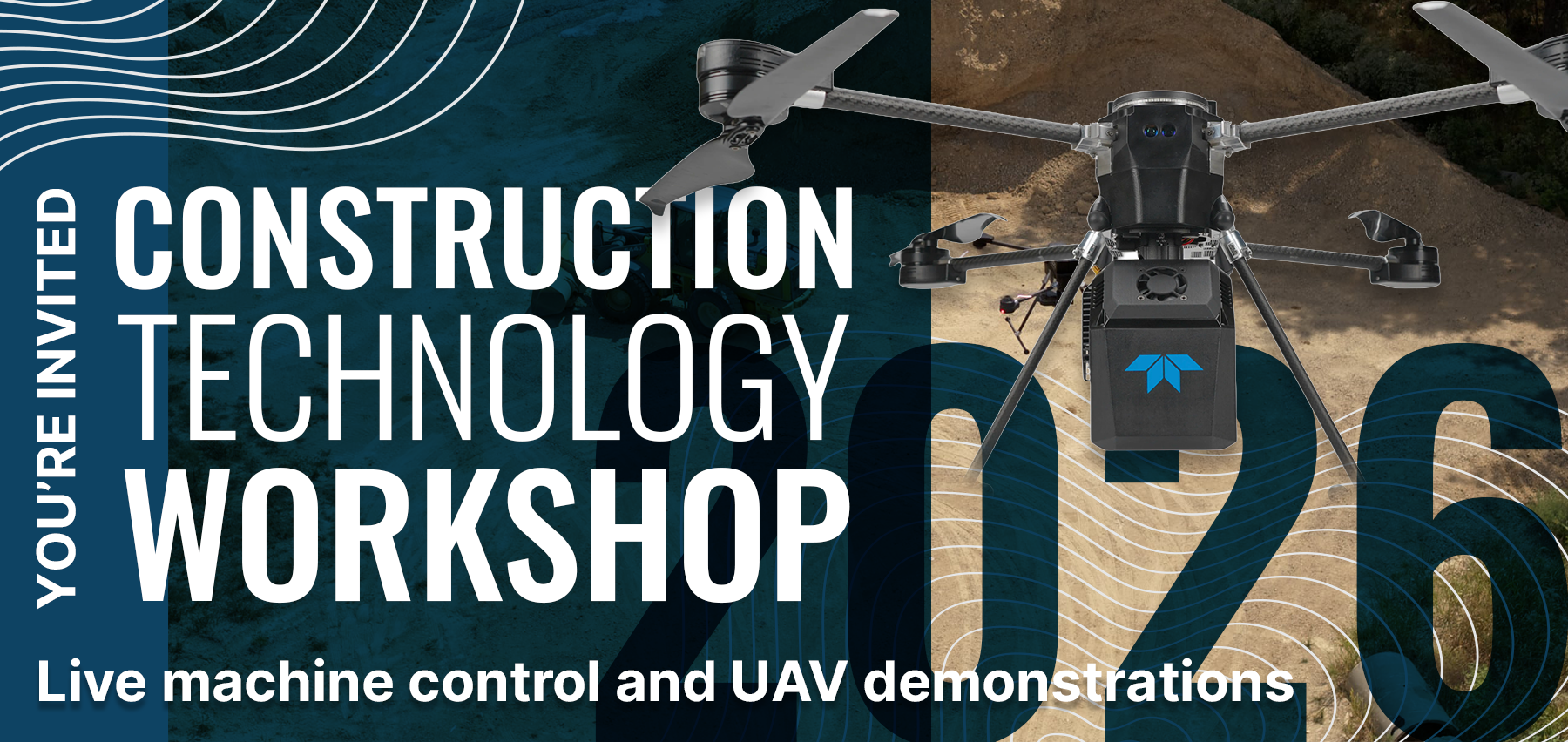
Join MultiCopter Warehouse and GeoShack for a hands-on technology showcase featuring the latest advancements in drones, LiDAR, laser scanning, and layout technology. See how the latest drone and LiDAR technology can transform the way your team approaches surveying, mapping, and construction projects.
What You’ll See
MultiCopter Warehouse (MCWH) will showcase the latest in enterprise drone and LiDAR technology, including Inertial Labs LiDAR solutions and the new Teledyne EchoONE.
See a live demonstration of how one person can map 100+ acres in less than an hour with a drone!
You’ll also see U.S.-made drone and LiDAR solutions designed for organizations looking to move away from foreign-manufactured UAV technology and avoid the growing restrictions surrounding them.
GeoShack will showcase the latest Topcon scanning and layout solutions and demonstrate how these technologies can complement your existing field workflows.
Why Attend?
- Experience live drone and LiDAR demonstrations
- Explore U.S.-made drone and LiDAR technology designed to address the growing restrictions on foreign-manufactured UAVs
- Discover how UAVs and LiDAR can improve surveying, mapping, inspection, and construction workflows
- See how UAVs, LiDAR, laser scanning, and layout technology can work together to save time and reduce rework
- Meet industry experts and get answers to your specific technology questions
Whether you’re considering your first enterprise drone, replacing a foreign-manufactured fleet, or looking for a faster way to collect accurate site data, you’ll leave with practical knowledge you can use immediately.
