
WISPR 24MP Mapper
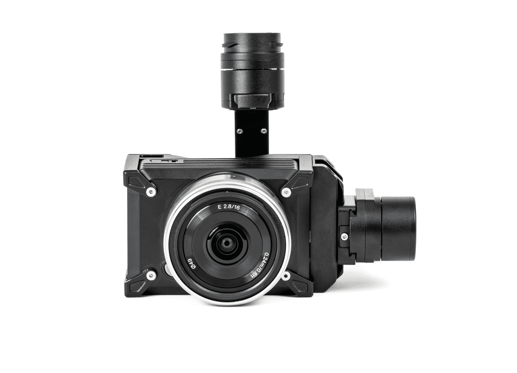
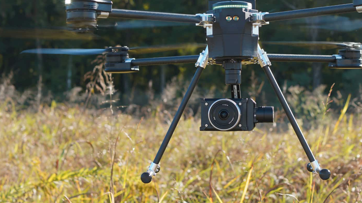
The WISPR 24MP Mapping Camera delivers high-resolution aerial imagery with a 24.3MP APS-C sensor and RTK/PPK compatibility. Its lightweight 120g design and active cooling system make it ideal for accurate mapping, surveying, and inspection missions with the SkyScout 2 and SkyScout 2+.
The WISPR 24MP Drone Mapping Camera is designed to capture high-resolution aerial imagery for professional mapping, surveying, and inspection applications. Featuring a 24.3 effective megapixel APS-C sensor, the camera delivers detailed imagery needed for accurate aerial data collection and analysis.
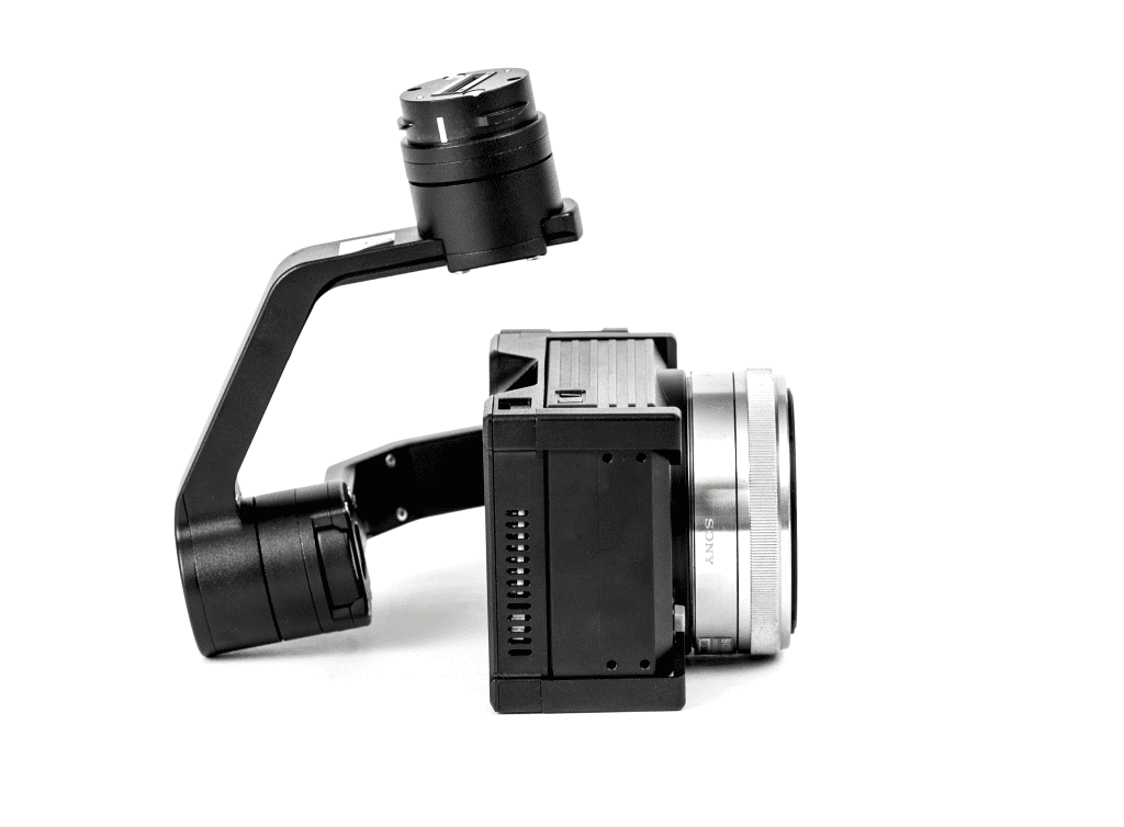
Built with professional drone operations in mind, the camera supports both RTK and PPK workflows for enhanced positioning accuracy. Its lightweight 120-gram design, excluding the lens, helps minimize payload weight while maintaining high imaging performance. An integrated cooling fan helps manage operating temperatures during extended missions, reducing the risk of overheating and supporting consistent performance.
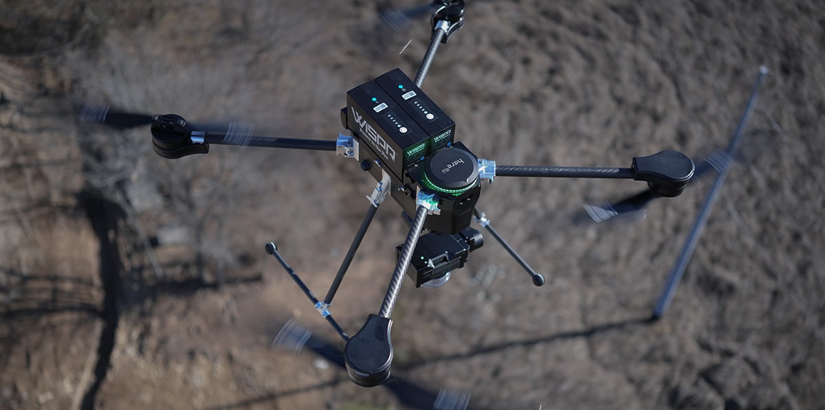
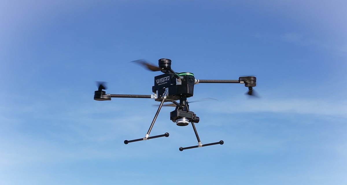
The WISPR 24MP Mapping Camera is compatible with the WISPR SkyScout 2 and SkyScout 2+, providing a high-performance imaging solution for demanding aerial mapping and inspection workflows.
- Compatibility: SkyScout 2, SkyScout 2+, Ranger Pro
- Shutter Type: Mechanical
- Photo Resolution: 24MP
- Image Size: 6000 x 4000 pixels
- Lens Options: Sony E Mount
- Dimensions
7 x 6 x 7.5 inches - Weight: 1.82 lbs
- Operating Temperature: 32ºF – 122ºF
Custom Gimbal For Ease Of Use
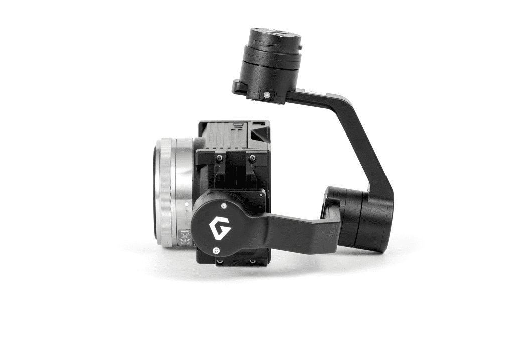
The WISPR custom gimbal eliminates cumbersome wires and provides a seamless integration experience for quick and efficient payload attachment to the drone. This ensures clean operation when using the drone mapping camera in the field.
Quick and Easy Geotagging
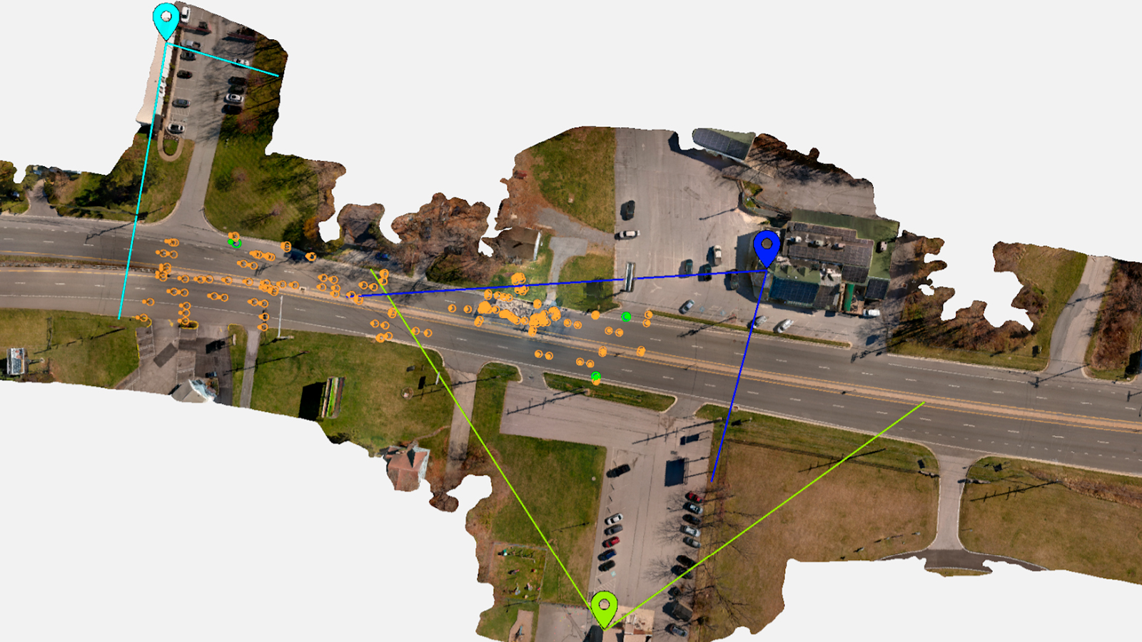
WISPR’s custom software streamlines geotagging for aerial mapping by integrating with GPS, RTK, and PPK data. Each image is associated with accurate geographic coordinates, supporting precise aerial survey and inspection results.
Reduce Blur With a Mechanical Shutter
Mechanical shutters provide global shutter functionality, preventing distortion and skewing associated with rolling shutters. This results in more accurate and distortion-free data for aerial mapping missions.
APPLICATION SCENARIOS
Discover the evolution of industrial operations with drones. Learn about their practical applications within your specific industry.
Talk To Our Experts
Get in touch with us to schedule a meeting with one of our team members at MultiCopter Warehouse, where we can discuss and tailor the perfect solution for your needs.
